 Pamproux: Sud de Poitiers
Pamproux straddles the upper Sèvre Niortaise watershed in Nouvelle-Aquitaine, a position on the Poitou plain that has long linked a farming commune with north–south routes. The A10 motorway passes alongside the settlement on its Paris–Bordeaux corridor, while the surrounding Deux-Sèvres countryside is shaped by cultivated fields, hedgerows and small woodland blocks. The Sèvre Niortaise flows west through the department towards Niort and the Atlantic marshes, placing Pamproux in gently rolling limestone country rather than a mountain region. Life here retains the scale of rural Poitou. Regional food traditions include broyé du Poitou, a large crisp butter biscuit traditionally broken by hand, as well as goat’s-milk cheeses rooted in local farming.
Generated by AI
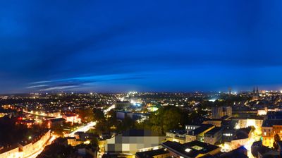

Pamproux lies along the Sèvre Niortaise in the gently rolling farmland of the Deux-Sèvres department. This is historic Poitou: a largely rural part of western France shaped by fields, small settlements and the river corridors that lead west towards Niort and the Atlantic marshlands. The commune sits between the larger towns of Saint-Maixent-l’École and Niort, making it a useful point from which to understand the quieter inland side of Nouvelle-Aquitaine. Poitou’s Romanesque church heritage and agricultural traditions remain important markers of the wider region. Continue with other webcams around Deux-Sèvres to see how this part of Nouvelle-Aquitaine connects regionally.
1 webcam
The Atlantic coastline and the Garonne–Dordogne river basin define much of Nouvelle-Aquitaine, supporting vineyards, agriculture and enduring maritime trade. France’s largest region brings together the surf beaches and pine forests of the Landes, the wine country around Bordeaux, and the limestone valleys of the Dordogne. The Charente passes through Angoulême, near this location; the city is internationally associated with its annual comics festival. Bordeaux also preserves the UNESCO-listed historic centre known as the Port of the Moon, recalling its role in Atlantic commerce. Cognac production in the Charente adds another internationally recognised local tradition. Browse related webcams around Nouvelle-Aquitaine to form a broader impression of this varied region.
125 webcams
The Atlantic and Mediterranean coastlines, together with the Alps, Pyrenees and broad river basins, define much of France — they support maritime trade, farming, wine regions and travel throughout the year. The Seine runs through Paris, where the Eiffel Tower and the Louvre are among Europe’s most recognised landmarks. The Loire Valley is known for Renaissance châteaux, while Mont-Saint-Michel rises from a tidal bay in Normandy. Regional food traditions are equally distinctive, from Breton seafood to Provençal cooking, with bread, cheese and wine central to everyday life. France’s global cultural influence is evident in its language, literature, fashion and cinema. View additional webcams nearby to better understand how France’s coasts, plains and mountain borders relate to their surroundings.
2.2K webcams