 Los Alamos: Pajarito Mountain Ski Area
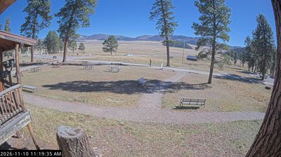
Pajarito Mountain Ski Area has served as a community ski area in New Mexico’s Jemez Mountains since 1954. Created by the Los Alamos Ski Club, it occupies a forested mountainside west of the Los Alamos plateau, where cleared runs cut through conifer woodland. The ski area belongs to a landscape shaped by the Jemez volcanic field, one of the defining geological regions of northern New Mexico. Its close association with Los Alamos gives the mountain a local character: it was built for residents as well as visitors rather than as a purpose-built resort town. The surrounding Jemez Mountains are also known for extensive public lands and outdoor recreation.
Generated by AI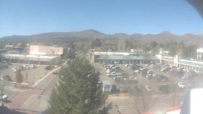

Los Alamos occupies the Pajarito Plateau on the eastern flank of the Jemez Mountains in northern New Mexico. The town sits above the Rio Grande valley, where mesas and deep canyons create a setting distinct from the state’s broad desert basins. During the Second World War, Los Alamos was the secret site of the Manhattan Project; today, the Bradbury Science Museum traces that scientific and military history, while Los Alamos National Laboratory remains a major research institution. Nearby Bandelier National Monument preserves ancestral Pueblo dwellings carved into volcanic tuff. Continue to other webcams in northern New Mexico to compare landscapes and settings around the Jemez Mountains.
2 webcams
High desert, mountain ranges and the Rio Grande valley define much of New Mexico - scarce water, grazing land and irrigated fields have long shaped settlement, ranching and farming. The state spans the southern Rocky Mountains and the Chihuahuan Desert, with the Sangre de Cristo Mountains rising above Santa Fe and the White Sands gypsum dune field lying farther south. Carlsbad Caverns National Park protects an extensive cave system in the southeast. Indigenous presence remains central: New Mexico is home to 19 Pueblo communities, alongside Navajo and Apache traditions. Santa Fe was founded in 1610. Browse other webcams across New Mexico to place its desert basins and mountain ranges in a wider geographic context.
41 webcams
The Atlantic, Pacific and Gulf coasts define much of the United States — their ports, fisheries and trade routes have long tied the country’s economy to the wider world. Between them, the Rocky Mountains, Great Plains and Mississippi River basin form sharply different regions, from high western ranges to broad agricultural heartlands. Cities carry much of the national story: New York’s Statue of Liberty, a gift from France dedicated in 1886, remains an enduring symbol, while Washington, DC concentrates major federal institutions. Indigenous nations have shaped these lands for millennia, and their living cultures remain essential to the country’s identity. Find related webcams in the surrounding areas to build a fuller picture of the United States.
32K webcams