 Zlate Hory: Ondrejovice v Jesenikach: Rejvíz - Běžecké stopy - Sdružený snímek
Zlaté Hory lies in the Zlatohorská vrchovina, a rolling upland of the Jeseníky Mountains where open grazing land and scattered homes give way to forested ridges. The town stands close to the Polish border in Czech Silesia and is inseparable from a long tradition of gold mining: its Czech name means “Golden Mountains.” The surrounding countryside remains distinctly rural, with meadows, smallholdings and woodland spread across slopes and valleys. Zlaté Hory belongs to the wider Jeseníky region, whose broken relief has kept settlement dispersed rather than concentrated in one urban centre. It is a former mining town shaped by upland farming and the character of the Czech-Polish borderland.
Generated by AI
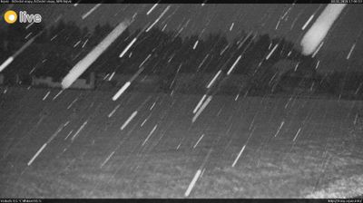



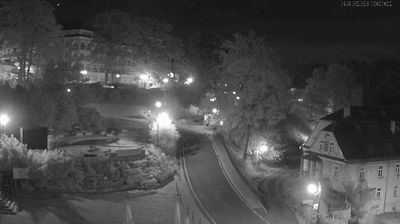


Zlaté Hory combines a gold-mining past with the subdued rhythm of a small borderland town in a way that reflects its position in the Zlatohorská vrchovina, close to Poland. This upland belongs to the Jeseníky mountain country, and Biskupská kupa rises nearby as one of its familiar peaks. Gold was mined here from the Middle Ages, a legacy recalled at Zlatorudné mlýny, where reconstructed water-powered mills demonstrate historic ore processing. The former German name, Zuckmantel, also reflects the mixed Czech-German story of this Silesian border area. Find related webcams in the Jeseníky and Olomouc Region to build a fuller picture of Zlaté Hory.
6 webcams
Olomouc Region occupies a varied inland belt in eastern Czechia. Its terrain moves from the fertile Haná lowlands around Olomouc to the forested Jeseníky Mountains in the north, where Praděd reaches 1,491 metres, the highest summit in Moravia and Czech Silesia. The Morava River provides a north–south thread through the region and has long supported settlement and farming. Olomouc, the historic capital of Moravia, retains a notable baroque core; its Holy Trinity Column is inscribed on UNESCO’s World Heritage List. Smaller towns, agricultural country and mountain communities give the region a distinctly changing character. Browse other webcams across Olomouc Region to place this setting in a wider geographic context.
68 webcams
The terrain of Czechia ranges from fertile lowlands in southern Moravia to mountain ridges along the northern frontier, giving this Central European country a distinctly varied geography. The Vltava runs through Prague before joining the Elbe, while the Krkonoše form part of the border with Poland and include Sněžka, Czechia’s highest mountain. Prague’s historic centre, with Prague Castle and Charles Bridge, reflects the city’s long role as a political and cultural centre. Beyond the capital, Bohemia is known for spa towns and brewing, and Moravia for wine-growing traditions. View additional webcams nearby to better understand how Czechia relates to its Central European surroundings.
1.2K webcams