 Logatec: Medvedje Brdo
Medvedje Brdo straddles a wooded ridge in the Rovte Hills of Inner Carniola, a position that has shaped it as a dispersed rural settlement among meadows, smallholdings and forest. It belongs to the Municipality of Logatec in west-central Slovenia, where rolling limestone country forms part of the Dinaric karst landscape. Fields and pasture alternate with broad wooded tracts, while local lanes link individual homes rather than converge on a dense village centre. Inner Carniola is one of Slovenia’s traditional historical regions, and the countryside around Logatec retains a strongly agricultural and woodland character. Its Slovene name means “Bear Hill”, recalling the settlement’s wooded setting.
Generated by AI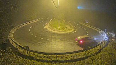


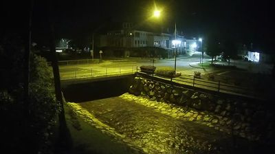
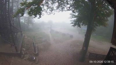
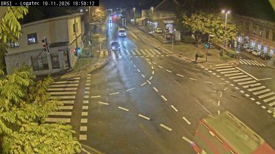



Logatec lies along the Logaščica stream in the Logatec Basin, where wooded karst terrain forms a transition between the Ljubljana Basin and Slovenia’s Inner Carniola region. The town brings together several once separate settlements, notably Gorenji and Dolenji Logatec, so its built-up area stretches rather than gathering around one monumental centre. Its position on the historic inland route toward the Adriatic helped shape it as a practical stopping point between Ljubljana and the coast. Beyond the streets, the wider Notranjska countryside is defined by limestone ground, forest and the water-shaped features of the Dinaric Karst. See how Logatec fits within Inner Carniola by browsing webcams nearby.
4 webcams
Upravna Enota Logatec has served as a transit crossroads within present-day Slovenia since Roman times. The town of Logatec stands southwest of Ljubljana on a karst threshold, where wooded plateaus, sinkholes and underground drainage mark the transition toward the Dinaric Karst. Its location follows the old route between Aquileia and Emona, which crossed the nearby Hrušica Plateau to connect the Adriatic world with the Ljubljana Basin. The area is associated with Longaticum, a Roman roadside settlement. Forests, dispersed hamlets and strong links to central Slovenia still define its everyday character. Continue with other webcams from the area to trace how this part of Slovenia connects regionally.
7 webcams
Slovenia occupies a meeting point of the Alps, the Pannonian Plain, the Dinaric mountains and the Adriatic coast in south-central Europe. The Julian Alps rise in the northwest, where Triglav is the country’s highest mountain, while the Soča River is known for its clear turquoise water. Karst terrain has shaped caves such as Postojna Cave and the Škocjan Caves, a UNESCO World Heritage site. Ljubljana combines a riverside old town with works by architect Jože Plečnik; farther east, wine-growing regions and thermal springs add another dimension. Slovenian food reflects Alpine, Mediterranean and Balkan influences. Find related webcams in the surrounding area to build a fuller picture of Slovenia and the northern Adriatic.
783 webcams