 Mangaratiba
Among the coastal municipalities of Rio de Janeiro state, Mangaratiba stands out for its position between Sepetiba Bay and the steep, forested slopes of the Serra do Mar. This part of Brazil’s Costa Verde brings lowland settlements and transport routes close to Atlantic Forest-covered ridges that rise sharply inland. Mangaratiba has long been connected with maritime travel, and its port is a mainland departure point for Ilha Grande. During the 19th century, the town developed as an outlet for coffee from the Paraíba Valley. The coast and mountain backdrop give the municipality a markedly different character from the dense urban core of Rio de Janeiro.
Generated by AI

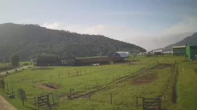
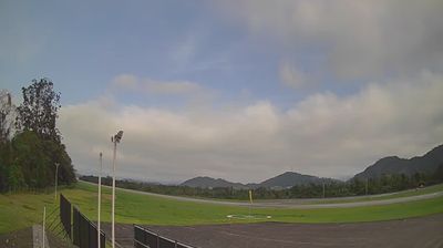

Set along Sepetiba Bay on Rio de Janeiro’s Costa Verde, Mangaratiba is a place whose character is shaped by the close meeting of the Serra do Mar and the Atlantic coast. In the 19th century, its port was an important outlet for coffee brought down from the Paraíba Valley, a role reflected in the town’s historic core. The Igreja Matriz de Nossa Senhora da Guia is among the landmarks connecting present-day Mangaratiba with that maritime past. Behind the waterfront, slopes of Atlantic Forest rise toward the Serra do Mar, while the bay leads into the wider island-fringed waters of the Costa Verde. Discover other points of interest through webcams located across Rio de Janeiro state.
4 webcams
The Serra do Mar defines much of Rio de Janeiro - its forested escarpments and valleys have shaped settlement, farming and routes between the interior and Atlantic coast. The state spans humid coastal lowlands, mountain country and the Paraíba do Sul valley, whose nineteenth-century coffee boom left a lasting mark on its towns and estates. On Guanabara Bay, the city of Rio de Janeiro is the state capital and home to the Corcovado statue of Christ the Redeemer. Beyond the metropolis, protected Atlantic Forest and smaller inland communities give the state a varied identity. Explore nearby webcam locations that provide complementary perspectives on Rio de Janeiro’s mountains, towns and Atlantic shoreline.
12 webcams
Brazil has served as a Portuguese colonial link between Europe and South America since the 16th century. Its immense territory extends from the Amazon River basin in the north to the Atlantic coast, with the Pantanal wetlands and Brazilian Highlands creating very different regions inland. Rio de Janeiro sits beside Guanabara Bay beneath Sugarloaf Mountain, while Brasília is known for its planned layout and modernist buildings by Oscar Niemeyer. Portuguese is the official language, and football, regional cuisines and Carnival celebrations are central to public life across the country. Continue through nearby webcams to explore different parts of Brazil.
151 webcams