 El Paso: Camino los Pedregales
Camino los Pedregales occupies a hillside position above the Aridane Valley on La Palma’s western side. This residential lane lies in the municipality of El Paso, between the Atlantic-facing lowlands around Los Llanos de Aridane and the steep volcanic relief of the island’s interior. The wider valley is shaped by the vast Caldera de Taburiente, whose eroded slopes form one of La Palma’s defining landforms, while the Cumbre Vieja ridge extends south across the island. Houses, smallholdings and cultivated terraces show how settlement follows the available ground on these volcanic slopes. El Paso also maintains a local silk-making tradition, interpreted at the Museo de la Seda Las Hilanderas. Camino los Pedregales is a useful reference point for the built and agricultural edge of Valle de Aridane.
Generated by AI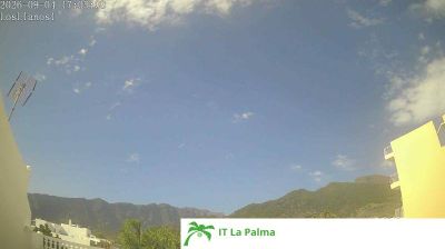
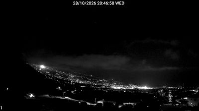

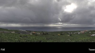

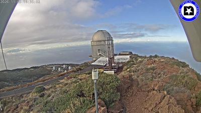
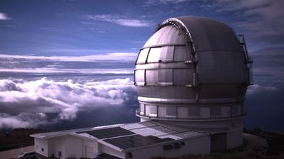
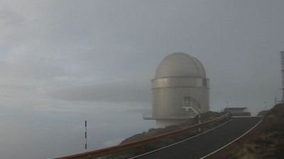


The Caldera de Taburiente defines the setting of El Paso — the town spreads across the upper Aridane Valley on La Palma’s western side, between the caldera’s high rim and the volcanic slopes of Cumbre Vieja. This inland municipality of orchards, pine-covered uplands and scattered neighbourhoods has a different rhythm from the island’s coastal resorts. Caldera de Taburiente National Park extends into the municipality and anchors routes into La Palma’s central mountains. El Paso also maintains a local craft tradition at Museo de la Seda Las Hilanderas, devoted to the island’s silk-making heritage. Browse additional webcams from the surrounding area to extend your view of La Palma.
5 webcams
The Canary Islands have served as an Atlantic crossroads within Spain since the fifteenth century. This volcanic archipelago lies off northwestern Africa, where the Atlantic Ocean, trade winds and sharply varying terrain shape climates ranging from dry coasts to cool uplands. Tenerife is home to Mount Teide, Spain’s highest peak, while the Teide National Park is a UNESCO World Heritage Site. Across the islands, black-sand shores, lava fields and cultivated slopes reflect their volcanic origins. Carnival traditions, especially those of Santa Cruz de Tenerife, remain an important part of the local calendar. View additional webcams nearby to better understand how the Canary Islands relate to the Atlantic and to one another.
74 webcams
Spain extends from the Cantabrian coast to the Canary Islands, encompassing Atlantic shores, Mediterranean beaches and the broad interior Meseta. The Pyrenees form its northeastern frontier, while the Guadalquivir crosses Andalusia on its way to the Atlantic. Madrid anchors the country’s political and cultural life, but distinct regional identities are central to Spain’s character: Catalonia, the Basque Country, Galicia and Andalusia each have their own languages or strong local traditions. Granada’s Alhambra is a major monument of the medieval Nasrid dynasty, and Santiago de Compostela remains the destination of the Camino de Santiago. Browse related webcams around the Iberian Peninsula to build a fuller picture of Spain.
1.4K webcams