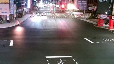
 Pingtung City: Kao-Ping Hsi Bridge
The landscape around the Gaoping River Bridge is a low alluvial plain, which has shaped both the built environment and local life. The crossing spans the Gaoping River, Taiwan’s largest river by drainage area, on Provincial Highway 1, an important north–south route through southern Taiwan. It lies between Kaohsiung and Pingtung County, linking the urban fringe on the river’s western side with the Pingtung Plain. Pingtung City, the county seat, is a regional service centre for a county long associated with farming; rice, fruit and other crops are raised on its flat, irrigated land. The bridge is part of a working transport corridor, carrying everyday movement between two closely connected parts of southern Taiwan.
Generated by AI
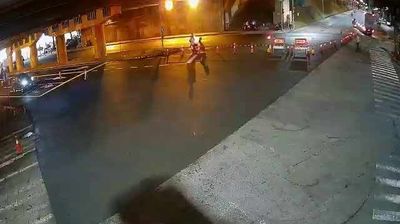
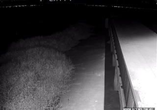


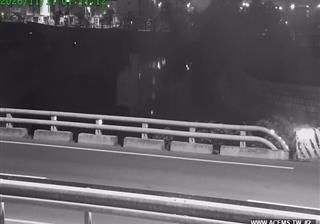
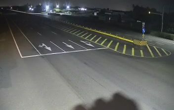


Tucked into the Pingtung Plain near the lower Gaoping River, Pingtung City is a place whose character is shaped by the warm agricultural lowlands of southern Taiwan. As Pingtung County’s administrative centre, it is a working urban hub rather than a seaside destination, with rail links connecting it to Kaohsiung and Taiwan’s wider railway network. Rice, sugarcane and tropical fruit have long been important to the surrounding plain, while temples, markets and local food remain part of daily city life. Sugar development during the Japanese colonial period left a lasting mark on the county’s economy and landscape. See how Pingtung City connects with the Gaoping River plain and southern Taiwan by browsing webcams nearby.
1 webcam
Pingtung County has served as an agricultural heartland in southern Taiwan since the Japanese colonial era. From the wooded slopes of the Central Mountain Range, the county extends across a warm plain to the Taiwan Strait, then south along the Hengchun Peninsula toward the Bashi Channel. Tropical crops, fisheries and small-scale farming still shape everyday life, while Indigenous communities in the mountain areas and Hakka settlements on the plain reflect Taiwan’s diverse settlement history. Donggang is closely associated with its bluefin tuna fishery, and farther south Kenting National Park protects coastal and coral-reef environments. Explore nearby locations that provide complementary perspectives on Pingtung County.
8 webcams
Taiwan's terrain ranges from fertile plains along the western coast to steep mountains in the interior, concentrating much of its population on the lowlands. The Central Mountain Range runs through the island, while the Pacific meets a more rugged eastern shoreline and the Taiwan Strait lies to the west. Taipei combines contemporary city life with major cultural institutions: the National Palace Museum preserves an extensive collection of Chinese imperial art. Across Taiwan, night markets are central to everyday eating, serving regional snacks alongside familiar staples. Tea cultivation, especially in upland areas, remains an enduring part of the island's food culture. Explore nearby locations that provide complementary perspectives on Taiwan.
95 webcams