 Domagnano: Torraccia airfield
The landscape around Torraccia airfield is a patchwork of cultivated fields and low rolling hills, which has shaped both the built environment and local life. Torraccia lies on San Marino’s gentler eastern side, where open farmland and scattered homes contrast with the denser streets around the republic’s historic core. The airfield occupies a broad grassy strip beside local roads, while the northern Apennine foothills extend toward the Adriatic plain. Monte Titano rises southwest of Domagnano and is the defining summit of the microstate. Domagnano is one of San Marino’s nine castelli, the municipalities that organize the republic’s territory. San Marino’s Historic Centre and Mount Titano have been a UNESCO World Heritage Site since 2008.
Generated by AI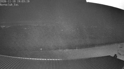
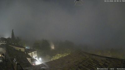




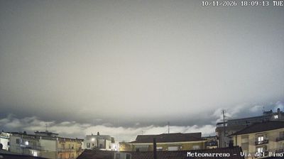

Among the nine castelli of San Marino, Domagnano stands out for its position on the northeastern slopes of Monte Titano, within the Apennine terrain of the republic. This municipality borders Borgo Maggiore, Faetano, Serravalle and the City of San Marino, placing it between the mountain’s historic core and the republic’s lower eastern districts. Its best-known historical association is the Domagnano Treasure, a group of late-antique gold jewellery discovered here in 1892 and now dispersed among museum collections. Domagnano represents the everyday local side of a country shaped by the prominent limestone mass of Monte Titano. Continue through nearby webcams to explore different parts of Domagnano and San Marino.
2 webcams
San Marino combines medieval continuity with compact modern civic life in a way that reflects its position within Italy’s Apennine foothills. Perched on Monte Titano, the republic is entirely enclosed by Italy yet retains its own institutions and political traditions. Its Historic Centre and Mount Titano form a UNESCO World Heritage site, where fortified walls, steep lanes and the Three Towers trace the long story of this independent state. Every six months, two Captains Regent are elected as joint heads of state, continuing a distinctive civic custom. Find related webcams in the surrounding area to build a fuller picture of San Marino and the Apennines.
2 webcams