 El Algarrobo: Caracas Airport
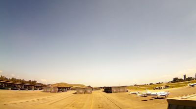
The landscape around Caracas Airport is a broad, low-lying valley edged by wooded hills, which has shaped both the built environment and local life. The airport stands near Charallave in Miranda, within the Tuy Valleys south of Caracas, where open land and transport infrastructure contrast with the densely built capital. Officially known as Caracas Óscar Machado Zuloaga Airport, it is a general-aviation facility used for private and charter operations. Its name commemorates Óscar Machado Zuloaga, a Venezuelan aviation pioneer. This is distinct from Simón Bolívar International Airport, Venezuela’s principal international airport, on the Caribbean coast at Maiquetía.
Generated by AI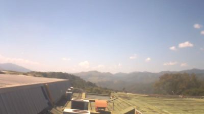
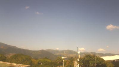

Among the settlements of Miranda, El Algarrobo stands out for its position in the hilly southern reaches of the Caracas metropolitan area. It lies within Venezuela’s Cordillera de la Costa, the mountain system that follows much of the country’s Caribbean-facing north and shapes the capital region’s dense pattern of valleys and slopes. Caracas is northwest of here, while the surrounding terrain points toward the more residential and semi-rural side of inland Miranda. The state is named for Francisco de Miranda, a key figure in Venezuela’s independence movement. See how El Algarrobo fits into Miranda and the Caracas region by browsing webcams nearby.
4 webcams
The Caribbean coast and the Cordillera de la Costa define much of Miranda — their slopes, valleys and lowlands support agriculture, cacao growing and communities closely connected with metropolitan Caracas. The Tuy River runs through the state’s central and southern districts, while the coastal Barlovento area is associated with cacao and Afro-Venezuelan musical traditions, especially drum-based celebrations. Los Teques, Miranda’s capital, lies in the inland highlands west of Caracas. From beach towns to humid mountain terrain, the state brings together distinct parts of north-central Venezuela. Trace Miranda’s links between the Caribbean shore, mountain slopes and Caracas by browsing webcams nearby.
4 webcams
The Andes, the Llanos and the Orinoco basin define much of Venezuela — their contrasting terrain has shaped settlement, cattle ranching, river travel and an economy long tied to petroleum. In the south, Canaima National Park contains Angel Falls, the world’s highest uninterrupted waterfall, while Lake Maracaibo in the northwest is central to the country’s oil history. Caracas lies in a mountain valley near the Caribbean coast, and Venezuelan cuisine is closely associated with the arepa, a corn cake prepared in many regional forms. Joropo music and dance, linked with the plains, remain an important expression of Venezuelan tradition. Browse other webcams across northern South America to place Venezuela in a wider geographic context.
5 webcams