 Tsurugi
Tucked into the forested valleys of the Shikoku Mountains, Tsurugi is a place whose character is shaped by steep terrain cut by running water. This inland part of Tokushima Prefecture is defined by narrow ravines, wooded slopes and small settlements set along valley floors rather than by a single urban centre. Around Tsurugi, streams thread through rock channels beneath dense broad-leaved woodland, and modest footbridges emphasize the close scale of these mountain corridors. The municipality was created in 2005 through the merger of the former towns of Handa, Sadamitsu and Ichiu, bringing several distinct valley communities under one name. It introduces Tokushima’s quieter upland countryside, where settlement, forest and water remain closely connected.
Generated by AI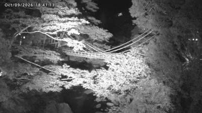
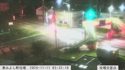

Tsurugi occupies long mountain valleys between the Yoshino River and the Shikoku Mountains in western Tokushima Prefecture. Its territory rises southward toward Mount Tsurugi, Shikoku’s second-highest summit at 1,955 metres, placing the town firmly within the island’s rugged interior. The Handa district is associated with Handa sōmen, hand-stretched wheat noodles that are notably thicker than standard sōmen and remain a defining local food. Settlements and cultivated land gather on the more level ground, while forested slopes cover much of the municipality. Continue through nearby webcams to explore different parts of Tsurugi and Tokushima Prefecture.
2 webcams
Among Japan’s regions, Tokushima Prefecture stands out for the Yoshino River, whose broad lower reaches meet the Kii Channel near Tokushima City. Occupying eastern Shikoku, the prefecture extends from this river plain to a rugged interior and a Pacific-facing coast. At the Naruto Strait, powerful tidal currents create the famous Naruto whirlpools between Shikoku and Awaji Island. Tokushima’s best-known tradition is Awa Odori, an August dance festival in the prefectural capital, when organised groups fill the streets with music and movement. The former province of Awa also gave its name to a local indigo-dyeing tradition. Continue with other webcams from the area to trace how eastern Shikoku connects with the Kii Channel and Japan’s Inland Sea.
33 webcams
Among the countries of East Asia, Japan stands out for its volcanic archipelago, stretching from the cool north of Hokkaido to subtropical Okinawa. Mount Fuji, the nation’s highest mountain, rises above central Honshu, while the Pacific Ocean and the Seto Inland Sea have long shaped settlement, fishing and travel. Tokyo pairs dense urban life with major museums and neighbourhood traditions; Kyoto preserves temples, gardens and the legacy of Japan’s imperial court. Seasonal customs give journeys a changing rhythm, from spring cherry blossom viewing to autumn leaves. Regional cooking is equally varied, with sushi, ramen and local specialties reflecting coastlines, climate and agriculture. Explore nearby webcam locations that provide complementary perspectives on Japan’s islands, cities and mountain regions.
1.3K webcams