 Grambois
The landscape around Grambois is a succession of wooded hills and cultivated clearings on the eastern edge of the Luberon, which has shaped both the built environment and local life. The settlement occupies a rise above the surrounding Provençal countryside, where compact stone houses and narrow lanes follow the slope rather than a grid. Grambois belongs to the Luberon Regional Natural Park, a protected area of limestone ridges, valleys and traditional farmland. Its historic core retains traces of fortifications and the medieval Church of Notre-Dame de Beauvoir, giving the small commune a distinctly old Provençal character. Gardens, orchards and scattered homes extend beyond the centre into the rolling terrain, while the Luberon range defines the wider regional setting.
Generated by AI


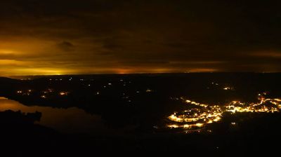

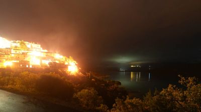
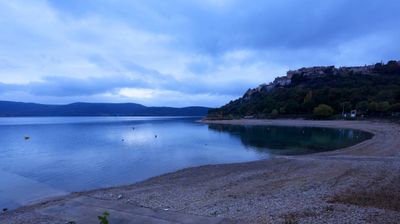

Grambois straddles a ridge in the eastern Luberon, a position that has gathered its older lanes and stone houses around a compact high point. The village stands in Vaucluse above agricultural country leading toward the Durance valley, while the Luberon range shapes its wider setting. The parish church of Notre-Dame de Beauvoir anchors the historic centre. Grambois also served as a filming location for Yves Robert’s 1990 adaptation of Marcel Pagnol’s La Gloire de mon père. Continue with other webcams from the area to see how this part of Provence-Alpes-Côte d'Azur connects regionally.
2 webcams
Provence-Alpes-Côte d’Azur occupies France’s southeastern Mediterranean coast and Alpine borderlands. Its terrain runs from the Rhône delta and the Camargue wetlands to the limestone coves of the Calanques and the high valleys of the French Alps, while the Côte d’Azur forms its celebrated shoreline. Marseille, France’s oldest city, is a major port, and Avignon’s Palais des Papes recalls the 14th-century papal court. Inland, Provençal markets, olive cultivation and lavender-growing areas remain central to regional identity. Browse additional webcams nearby to see how Provence-Alpes-Côte d’Azur connects with the Mediterranean, the Alps and neighbouring Italy.
270 webcams
The Atlantic and Mediterranean coastlines, together with the Alps, Pyrenees and broad river basins, define much of France — they support maritime trade, farming, wine regions and travel throughout the year. The Seine runs through Paris, where the Eiffel Tower and the Louvre are among Europe’s most recognised landmarks. The Loire Valley is known for Renaissance châteaux, while Mont-Saint-Michel rises from a tidal bay in Normandy. Regional food traditions are equally distinctive, from Breton seafood to Provençal cooking, with bread, cheese and wine central to everyday life. France’s global cultural influence is evident in its language, literature, fashion and cinema. View additional webcams nearby to better understand how France’s coasts, plains and mountain borders relate to their surroundings.
2.2K webcams