 Sromowce Nizne
Few places in the Polish Pieniny have a history as closely tied to the Dunajec River as Sromowce Niżne. On Poland’s border with Slovakia, the settlement lies beneath the craggy Trzy Korony massif, whose highest summit, Okrąglica, reaches 982 metres. The Dunajec enters the Pieniny Gorge here, a defining landform shared by the two countries and long associated with traditional rafting trips. A footbridge links Sromowce Niżne with Červený Kláštor in Slovakia, while the Gothic Church of St Catherine recalls the village’s older religious heritage. Pieniny National Park protects the Polish side of this compact limestone range, where wooded slopes meet the river corridor.
Generated by AI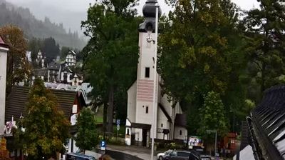
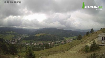




Sromowce Niżne combines a quiet riverside setting with an active cross-border role in a way that reflects its position on the Dunajec in the Pieniny Mountains. The village sits beneath the Trzy Korony massif, a defining landmark of Pieniny National Park and a prominent destination for walkers. A footbridge over the Dunajec links Poland with Slovakia’s Červený Kláštor, making the border an everyday part of local life. Sromowce Niżne also has the wooden Church of St Catherine, a Gothic building dating from the early 16th century. See how Sromowce Niżne fits within the broader Pieniny area by browsing webcams nearby.
1 webcam
The Vistula valley and the Carpathian foothills shape much of Lesser Poland Voivodeship, linking Kraków’s metropolitan life with farming districts and mountain tourism along its southern edge. Kraków, Poland’s former royal capital, remains the cultural centre: Wawel Castle and the medieval Old Town stand above the river, within a UNESCO World Heritage-listed historic core. Farther south, the Dunajec cuts through the Pieniny, while the Tatra Mountains form a highland frontier with Slovakia. The Wieliczka Salt Mine, worked from the Middle Ages, recalls the importance of salt to the old Polish state. Move on to other webcams in the region to compare landscapes and settings around Lesser Poland Voivodeship.
82 webcams
Poland stretches from the Baltic Sea coast in the north to the Carpathian Mountains along its southern frontier, encompassing broad lowlands, lake districts and upland ranges. The Vistula, the country’s longest river, links Kraków and Warsaw before reaching the Baltic near Gdańsk, while the Masurian Lake District is defined by a dense network of lakes. Kraków’s historic centre, including Wawel Castle, recalls Poland’s former royal capital; Warsaw’s rebuilt Old Town speaks to the city’s recovery after the Second World War. The Białowieża Forest preserves one of Europe’s last primeval lowland forests and is home to European bison. Follow how Poland’s regions relate to one another by browsing webcams across the country.
711 webcams