 Dunedin: Dunedin Hospital Heliport
Dunedin has served as a port city in Otago since the Otago gold rush of the 1860s. The city rises from the head of Otago Harbour, a long inlet on the Pacific coast where central streets, former industrial land and waterfront facilities meet. Dunedin Hospital sits in the central city and is a major public hospital for the lower South Island; its heliport forms part of the wider hospital precinct. Scottish settlement has left a lasting imprint on Dunedin’s identity: the city was founded in 1848 by the Free Church of Scotland, and its name is the Scottish Gaelic form of Edinburgh. The surrounding area combines civic buildings, commercial streets and hospital redevelopment, while the harbour continues east towards Otago Peninsula.
Generated by AI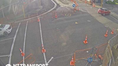
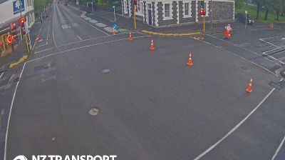


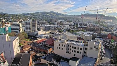


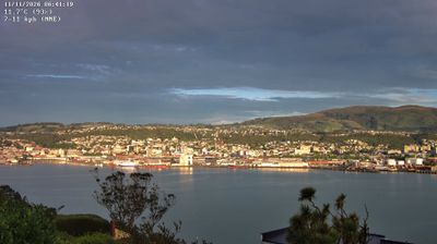
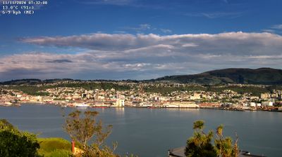

Dunedin lies along Otago Harbour, where the volcanic hills of the Otago Peninsula enclose a long, sheltered inlet opening toward the Pacific Ocean. Founded as a Scottish settlement in 1848, the city retains a distinctive civic identity, from the Octagon at its centre to street names that recall Edinburgh. The University of Otago, founded in 1869, is New Zealand’s oldest university and gives the central districts an academic rhythm. Dunedin Railway Station, completed in 1906, is a prominent reminder of the city’s early-20th-century prosperity. At Taiaroa Head on the peninsula, a northern royal albatross colony adds another dimension to this southern coastal setting. Browse other webcams across Otago to place Dunedin in a wider geographic context.
10 webcams
Otago stretches from the Southern Alps to the Pacific Ocean, encompassing alpine basins, dry inland ranges and a long southern coastline. At its centre, the Clutha/Mata-Au, New Zealand’s second-longest river, cuts through Central Otago, where schist country, orchards and vineyards give the interior a continental character. The 1860s gold rush left a clear legacy in former mining settlements including Clyde and Arrowtown. On the coast, Dunedin’s Victorian and Edwardian architecture reflects its Scottish foundations, while Otago Peninsula is known for marine wildlife. Browse additional webcams from the surrounding area to extend your view of Otago.
45 webcams
New Zealand combines Pacific isolation with strong ties to the wider South Pacific in a way that reflects its position between the Tasman Sea and the open Pacific Ocean. The country’s two main islands are divided by Cook Strait, while the Southern Alps run along much of the South Island and include Aoraki / Mount Cook, its highest mountain. On the North Island, volcanic terrain shapes Tongariro National Park and the central plateau; long coastlines frame cities such as Auckland and Wellington. Māori culture is central to national life, and the Treaty of Waitangi, first signed in 1840, remains a foundational document in relations between Māori and the Crown. See how New Zealand fits within the wider South Pacific by browsing webcams nearby.
448 webcams