 Lake Tekapo: Mount John
Mount John rises above Lake Tekapo in Canterbury, New Zealand, where the Mackenzie Basin opens towards the Southern Alps. Its summit is home to the University of Canterbury Mt John Observatory, an astronomical research station established in 1965. The site includes the 1.8-metre MOA telescope, New Zealand’s largest optical telescope. Below, Lake Tekapo is a glacial lake whose distinctive blue colour comes from suspended rock flour. The wider area forms part of the Aoraki Mackenzie International Dark Sky Reserve, recognised for protecting a naturally dark night sky. Together, the lake and hill are central to Tekapo’s identity as both a high-country settlement and a base for astronomy.
Generated by AI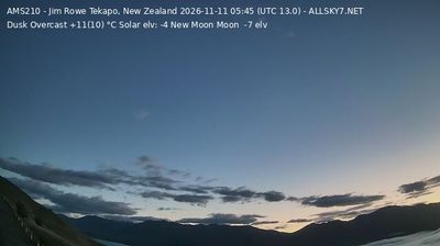


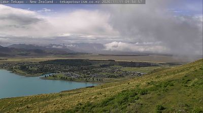

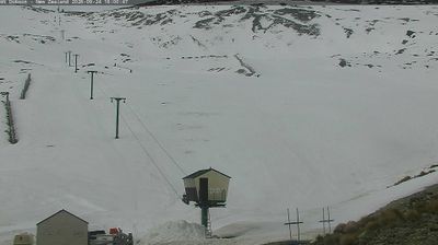
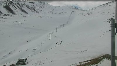
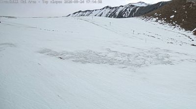
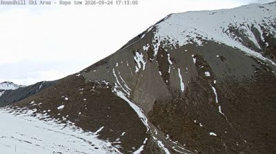

Lake Tekapo combines the quiet pace of a small high-country settlement with an international reputation for night-sky observation in a way that reflects its position in Canterbury’s Mackenzie Basin. The town stands beside the turquoise waters of Lake Tekapo, coloured by glacial rock flour, with the Tekapo River flowing from its outlet. The Church of the Good Shepherd, built in 1935 on the lakefront, is a defining local landmark. Nearby Mount John is home to an observatory operated by the University of Canterbury. The area forms part of the Aoraki Mackenzie International Dark Sky Reserve, where low light pollution supports both astronomy and stargazing. Discover other points of interest through webcams located across Canterbury.
5 webcams
The terrain of Canterbury ranges from the Southern Alps on its western margin to the Pacific coastal plains in the east, creating a region of braided rivers, dry grasslands and productive farmland. The Canterbury Plains are crossed by rivers including the Rakaia and Waimakariri, whose shifting gravel channels define much of the South Island interior. Farther inland, Aoraki/Mount Cook rises among New Zealand’s highest mountains. Ngāi Tahu are the mana whenua of Canterbury, and their relationship with land and waterways remains fundamental to the region’s identity. Christchurch, the regional centre, adds an urban dimension through its parks, arts institutions and architecture reshaped after earthquakes. Continue with other webcams from the area to see how this part of New Zealand’s South Island connects regionally.
115 webcams
New Zealand combines Pacific isolation with strong ties to the wider South Pacific in a way that reflects its position between the Tasman Sea and the open Pacific Ocean. The country’s two main islands are divided by Cook Strait, while the Southern Alps run along much of the South Island and include Aoraki / Mount Cook, its highest mountain. On the North Island, volcanic terrain shapes Tongariro National Park and the central plateau; long coastlines frame cities such as Auckland and Wellington. Māori culture is central to national life, and the Treaty of Waitangi, first signed in 1840, remains a foundational document in relations between Māori and the Crown. See how New Zealand fits within the wider South Pacific by browsing webcams nearby.
491 webcams