 Harrietville
Tucked into the Victorian Alps near Harrietville, Mount Hotham is a place whose character is shaped by its high, exposed alpine terrain. The Mount Hotham ski area spreads across ridges and bowls above the upper Great Alpine Road, where ski runs and lift infrastructure sit among snow-gum woodland and low heath. This is one of Victoria’s best-known winter-sports centres, yet its setting has a distinctly Australian identity: eucalypts rather than conifer forest, a broad mountain road, and a resort precinct strung across the ridgeline. The road climbs from Harrietville through the Ovens Valley and provides the main western approach to Hotham, linking the high country with settled valleys below. The surrounding Victorian Alps are also valued for walking and backcountry travel.
Generated by AI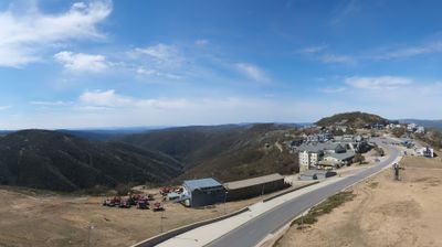
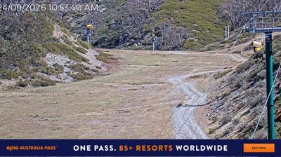
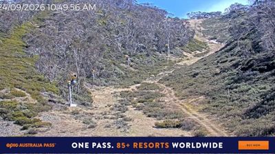
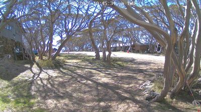

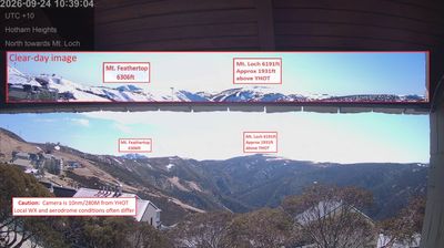

In Victoria, few towns are as deeply shaped by gold mining as Harrietville. Established during the Victorian gold rush of the 1850s, it lies in the upper Ovens Valley, where the Ovens River runs between forested slopes of the Victorian Alps. The settlement stands on the Great Alpine Road, which climbs from the valley towards Mount Hotham. Harrietville is also the starting point for the Bungalow Spur Track, a demanding walking route to Mount Feathertop. Its compact centre serves walkers, cyclists and winter travellers with accommodation, cafés and practical services. Explore further points of interest via webcams placed throughout Victoria.
8 webcams
Among Australia’s regions, Victoria stands out for the remarkable variety packed between the Murray River and Bass Strait. The state combines fertile northern plains, the Central Victorian Goldfields, the forested Great Dividing Range and a long southern coast. Bendigo and Ballarat grew rapidly during the gold rushes of the 1850s, while Melbourne developed into Victoria’s cultural and economic centre. Along the southwest, the Great Ocean Road follows a dramatic stretch of coastline, contrasting with the farmland and river country inland. See how Victoria belongs within southeastern Australia by browsing webcams across the region.
327 webcams
Australia’s terrain extends from tropical rainforests in the northeast to arid plains in the interior, producing dramatic climatic contrasts. The Great Dividing Range follows much of the eastern coast, while the Great Barrier Reef lies off Queensland in the Coral Sea and Uluru rises from the central desert. Aboriginal and Torres Strait Islander peoples maintain living cultures whose connections to Country long predate European settlement. In Sydney, the sail-like Opera House, completed in 1973, stands beside one of the world’s best-known harbours. Discover further points of interest through webcams located across Australia.
1.7K webcams