 Putgarten: Peilturm, Kap Arkona

Among the places of Mecklenburg-Vorpommern, Putgarten stands out for its position on Rügen’s far northern coast, between open fields and the Baltic Sea. The municipality includes Cape Arkona, whose steep chalk-and-clay cliffs meet the sea on the Wittow peninsula. Two historic towers mark the headland: the Schinkel Tower, built in 1826–27, and the later lighthouse of 1902. Nearby lies the site of Jaromarsburg, a major Slavic sanctuary and fortified settlement of the Rani. Putgarten itself is a small rural community, but its exposed coastal setting and the Cape Arkona ensemble make it one of Rügen’s best-known destinations.
Generated by AI
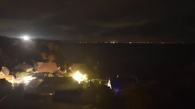
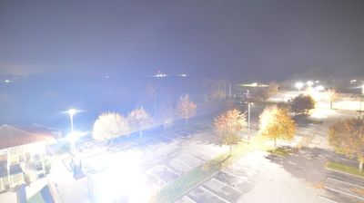
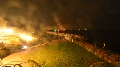
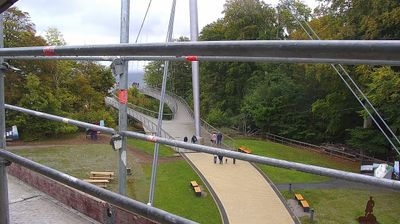
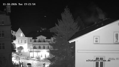
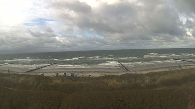
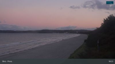
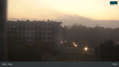

Putgarten sits on Rügen’s Baltic Sea coast in Mecklenburg-Vorpommern, Germany, where the island narrows toward Cape Arkona. The municipality includes this exposed headland, Rügen’s northernmost point, whose chalk cliffs rise above the Baltic and have long made it a navigational landmark. Cape Arkona’s two lighthouses, built in 1826 and 1902, stand beside the remains of Jaromarsburg, a Slavic hillfort and sanctuary captured by Danish forces in 1168. Putgarten is also a practical base for exploring the island’s northern shore on foot or by bicycle, away from Rügen’s larger resorts. Explore nearby webcam locations that provide complementary perspectives on Rügen’s Baltic coast.
4 webcams
Mecklenburg-Vorpommern is best known within Germany for its Baltic Sea coastline, including the islands of Rügen and Usedom. Its northern edge meets the Baltic, while the interior is marked by lakes, lowland forests and farmland; Lake Müritz is Germany’s largest lake lying entirely within the country. The white chalk cliffs of Jasmund National Park on Rügen are among the state’s defining coastal formations. Stralsund and Wismar retain historic Hanseatic town centres, both inscribed on UNESCO’s World Heritage List. Ports, seaside resorts and lake districts give the region a distinctly northern character. Continue with other webcams from the area to see how this part of northeastern Germany connects regionally.
107 webcams
Germany stretches from the North Sea and Baltic Sea coasts to the Alps on its southern border, encompassing northern plains, river valleys and forested uplands. The Rhine, Danube and Elbe have long connected its regions, while the Black Forest and Bavarian Alps give the south a more dramatic relief. Berlin’s Brandenburg Gate and Museum Island reflect the capital’s role in German history and culture. Cologne Cathedral, a UNESCO World Heritage Site, rises above the Rhine, and the Bauhaus movement, founded in Weimar in 1919, transformed modern design far beyond Germany. Regional cooking, Christmas markets and brewing traditions bring further character to daily life. Browse additional webcams from the surrounding area to extend your view of Germany.
2.8K webcams