 Jindrichuv Hradec
Among the places of the South Bohemian Region, Jindřichův Hradec stands out for Vajgar Pond, a broad urban water body beside its historic core. The town lies on the Nežárka River in the rolling landscape of southern Bohemia, where the pond’s shores form a green interval between neighbourhoods and the old centre. Jindřichův Hradec Castle and Château occupies a rocky promontory between the Nežárka and Hamerský Stream; its layered buildings reflect centuries of aristocratic residence. Vajgar remains closely woven into daily town life, with public spaces, walking routes and sports facilities arranged around its banks. Together, the water and the castle complex give Jindřichův Hradec a character distinct from many inland South Bohemian towns.
Generated by AI
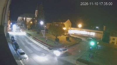


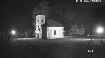




Built around a medieval castle on the Nežárka River, Jindřichův Hradec grew into a historic South Bohemian town. Its castle-and-château complex occupies the narrow ground between the river and Vajgar Pond, a large fishpond that has long shaped the town’s waterside setting. Arcaded courtyards and Renaissance interiors record the transformation of the original fortress under the Lords of Hradec. The Museum of Jindřichův Hradec holds Krýza’s crèche, recognised as the world’s largest mechanical nativity scene. View additional webcams nearby to better understand how Jindřichův Hradec relates to South Bohemia’s ponds and borderlands.
2 webcams
South Bohemian Region occupies a broad southern stretch of Bohemia in Czechia, reaching from the Šumava Mountains near Austria to the lowlands around České Budějovice. The Vltava flows north through this region, while the Třeboň area is renowned for its centuries-old network of fishponds and carp farming. Český Krumlov, set in a bend of the Vltava, is a UNESCO World Heritage Site known for its historic centre and castle complex. The regional capital, České Budějovice, is also home to the Budweiser Budvar brewery. Browse additional webcams from the surrounding area to extend your view of South Bohemia.
105 webcams
The terrain of Czechia ranges from fertile lowlands in southern Moravia to mountain ridges along the northern frontier, giving this Central European country a distinctly varied geography. The Vltava runs through Prague before joining the Elbe, while the Krkonoše form part of the border with Poland and include Sněžka, Czechia’s highest mountain. Prague’s historic centre, with Prague Castle and Charles Bridge, reflects the city’s long role as a political and cultural centre. Beyond the capital, Bohemia is known for spa towns and brewing, and Moravia for wine-growing traditions. View additional webcams nearby to better understand how Czechia relates to its Central European surroundings.
1.4K webcams