 Vernon: Allan Brooks Nature Centre
Among the places of British Columbia, Vernon stands out for its setting amid the dry grasslands and lake country of the North Okanagan. Allan Brooks Nature Centre occupies a hillside above the city and interprets the region’s grassland habitats and wildlife. It is named for Allan Brooks, the British Columbia naturalist and bird artist who lived from 1869 to 1944. Vernon spreads across the northern Okanagan Valley, close to Okanagan Lake and Kalamalka Lake. The surrounding rolling terrain reflects a landscape shaped by lakes, open slopes and expanding urban neighbourhoods rather than the coastal forests often associated with the province.
Generated by AI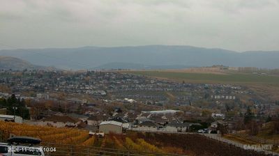

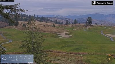
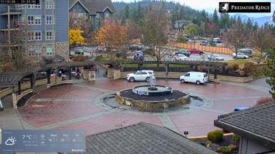
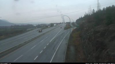
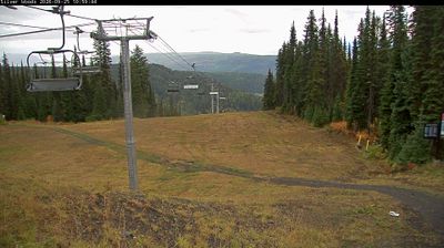
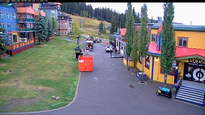
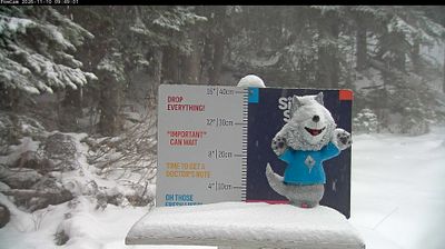

Few cities in British Columbia have a history as closely tied to cattle ranching as Vernon. In the North Okanagan, it occupies a broad interior valley between Okanagan Lake to the west and Kalamalka Lake to the southeast, where dry conditions helped shape early ranches and farms. Vernon grew as a service centre for this agricultural country, and the preserved O’Keefe Ranch recalls the region’s nineteenth-century settlement era. The city stands on the traditional territory of the Syilx (Okanagan) people, while orchards and vineyards remain part of its surroundings. Continue with other webcams from the area to see how this part of the Okanagan Valley connects regionally.
4 webcams
British Columbia has served as Canada’s Pacific frontier since joining Confederation in 1871. This vast western province extends from the Pacific coast across the Coast Mountains and interior plateaus to the Canadian Rockies; these coordinates lie in its sparsely settled northern interior. The Fraser, British Columbia’s longest river, drains a large part of the province before reaching the Strait of Georgia. First Nations have shaped these lands for millennia, and their living cultures remain integral to communities throughout the province. Victoria, on Vancouver Island, is the provincial capital, while Vancouver is its largest city and a major Pacific port. Forestry, mining, fisheries and outdoor travel all reflect a terrain where waterways and mountain corridors matter. View additional webcams nearby to better understand how British Columbia’s northern interior relates to its Pacific coast and mountain ranges.
1.2K webcams
Canada has served as a frontier between French and British colonial powers since the 17th century. The world’s second-largest country extends from Atlantic shores to the Pacific and Arctic coasts, with the Canadian Shield, the Rocky Mountains, the Great Lakes and the St. Lawrence River shaping its vast geography. First Nations, Inuit and Métis peoples are central to Canada’s identity, while Ottawa’s Parliament Hill represents its federal political life. French remains the official language of Quebec, adding a distinct dimension to the country’s public culture. See how Canada connects across North America by browsing webcams in neighbouring regions.
3.5K webcams