 Kita Ward
Few places in Aichi Prefecture have a history as closely tied to Nagoya’s twentieth-century expansion as Kita Ward. Created in 1944, the ward forms part of the city’s northern urban belt, where established residential streets, local commerce and transport infrastructure meet. The Shōnai River is a defining geographical presence, while National Route 302 forms Nagoya’s orbital road corridor, carrying traffic around the central districts. This route reflects the practical, built-up character of Kita Ward, shaped by major road links and closely settled neighbourhoods. The district provides a useful perspective on everyday Nagoya beyond the better-known castle and business areas.
Generated by AI


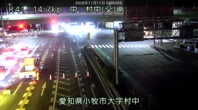
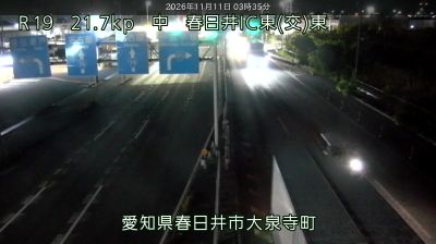

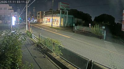


The landscape around Kita Ward is a low, level plain along the Shōnai River, which has shaped both its compact urban form and local economy. This northern ward of Nagoya belongs to the vast metropolitan fabric of Aichi, where rail corridors, neighbourhood shopping streets and residential blocks meet riverside open space. Meijō Park runs along the ward’s southern side beside the grounds of Nagoya Castle, a Tokugawa stronghold begun in 1612 and one of the city’s enduring symbols. Kita Ward presents the everyday side of Nagoya, with local temples, schools and independent businesses woven into the city grid. Continue with other webcams from the Nagoya area to see how this part of Aichi Prefecture connects regionally.
1 webcam
Among Japan’s prefectures, Aichi Prefecture stands out for its central place in the country’s automotive industry. On the Pacific-facing side of central Honshu, it extends from the urban plain around Nagoya to the shores of Mikawa Bay and the wooded uplands of eastern Mikawa. Toyota Motor Corporation has its headquarters in the city of Toyota, while Okazaki Castle marks the birthplace of Tokugawa Ieyasu, founder of the Tokugawa shogunate. Nagoya is the prefecture’s commercial and cultural hub, known for its castle and major museums. Find related webcams in the surrounding area to build a fuller picture of Aichi Prefecture.
27 webcams
Among the countries of East Asia, Japan stands out for its volcanic archipelago, stretching from the cool north of Hokkaido to subtropical Okinawa. Mount Fuji, the nation’s highest mountain, rises above central Honshu, while the Pacific Ocean and the Seto Inland Sea have long shaped settlement, fishing and travel. Tokyo pairs dense urban life with major museums and neighbourhood traditions; Kyoto preserves temples, gardens and the legacy of Japan’s imperial court. Seasonal customs give journeys a changing rhythm, from spring cherry blossom viewing to autumn leaves. Regional cooking is equally varied, with sushi, ramen and local specialties reflecting coastlines, climate and agriculture. Explore nearby webcam locations that provide complementary perspectives on Japan’s islands, cities and mountain regions.
1.3K webcams