 Le Pellerin: Embarcadère bac Le Pellerin
Le Pellerin lies along the Loire estuary, where broad tidal water meets low, marsh-fringed farmland southwest of Nantes. Its landing stage forms part of the Loire ferry link with Couëron on the opposite bank, making the river a daily route rather than a boundary. The village also stands beside the Canal de la Martinière, opened in 1892 to provide seagoing vessels with a safer bypass around a difficult stretch of the Loire. Though it no longer carries commercial shipping, the canal’s locks, straight waterway and banks remain a clear reminder of the estuary’s working past. Le Pellerin is also on the Loire à Vélo cycle route, linking its riverfront with the wider Loire Valley network.
Generated by AI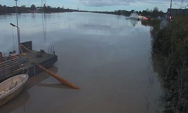
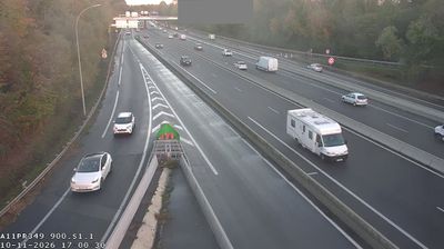

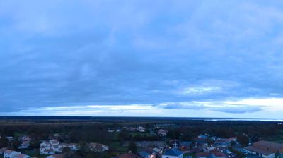
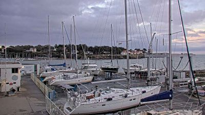

Le Pellerin lines the south bank of the Loire in Pays de la Loire, and its position on the tidal river has long connected it with traffic between Nantes and the Atlantic. The Bac de Loire ferry links the commune with Couëron on the opposite bank, preserving a traditional river crossing. At Le Pellerin, the Canal de la Martinière meets the Loire; opened in 1892, it was built as a navigational bypass for ships approaching Nantes. The canal and riverbanks recall the working-waterway history of the Loire estuary, while the town is also part of the Nantes metropolitan area. Browse other webcams across the Loire estuary and Pays de la Loire to place this riverside setting in a wider geographic context.
2 webcams
The Loire River defines much of Pays de la Loire — its broad valley has long supported vineyards, market gardening and river towns. This western French region extends from the Atlantic coast to inland farmland and includes Nantes, Angers, Le Mans and the Vendée. In Angers, the medieval Château d’Angers holds the Apocalypse Tapestry, a major late-medieval work commissioned by Louis I, Duke of Anjou. Nantes developed as an important Loire port, while the river is also followed by the Loire à Vélo cycling route. Continue through nearby webcams to explore different parts of Pays de la Loire.
79 webcams
The Atlantic and Mediterranean coastlines, together with the Alps, Pyrenees and broad river basins, define much of France — they support maritime trade, farming, wine regions and travel throughout the year. The Seine runs through Paris, where the Eiffel Tower and the Louvre are among Europe’s most recognised landmarks. The Loire Valley is known for Renaissance châteaux, while Mont-Saint-Michel rises from a tidal bay in Normandy. Regional food traditions are equally distinctive, from Breton seafood to Provençal cooking, with bread, cheese and wine central to everyday life. France’s global cultural influence is evident in its language, literature, fashion and cinema. View additional webcams nearby to better understand how France’s coasts, plains and mountain borders relate to their surroundings.
2.2K webcams