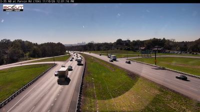
 Randolph: I-435 SB @ at 210 Hwy
Built around rural transport links in Clay County, Randolph grew into an unincorporated community on the northern edge of the Kansas City metropolitan area. It lies near the Missouri River, in low, wooded country shaped by the broad river valley rather than a conventional town centre. Interstate 435 meets Missouri Route 210 here, placing Randolph on an important north–south and east–west movement corridor for the metro area. Route 210 follows the Missouri River corridor toward Kansas City and communities farther northeast. The river was a principal transportation route in the nineteenth-century development of Missouri, and its floodplain still gives this part of Clay County an open, infrastructure-focused character. Randolph is best understood as a small settlement within a working suburban-rural fringe rather than a destination district.
Generated by AI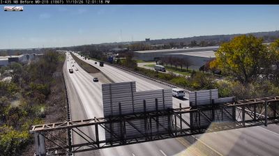

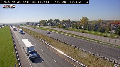
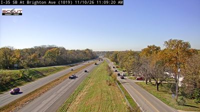
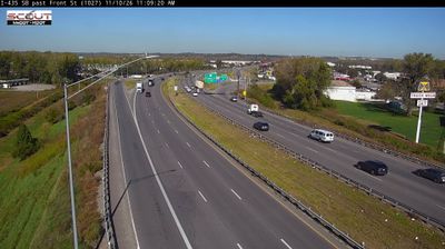

Randolph combines the intimacy of a very small Clay County community with the reach of the Kansas City metropolitan area in a way that reflects its position along the Missouri River north of Kansas City. The village lies within a broad river corridor that has long connected western Missouri to the American interior, while nearby Kansas City brings major museums, sports venues and a renowned barbecue tradition within the wider regional orbit. Randolph remains a quiet municipal pocket rather than an urban district. Its name commemorates John Randolph of Roanoke, the Virginia statesman. Find related webcams in the surrounding area to build a fuller picture of Randolph and the Missouri River corridor.
1 webcam
Among the regions of the United States, Missouri stands out for the Missouri River, which gives the state its name and crosses its broad central corridor. The Mississippi forms much of the eastern border, while the forested Ozark Plateau shapes the south and rolling plains extend across the north. Near these coordinates, Columbia is home to the University of Missouri, founded in 1839 and the state’s flagship public university. The nearby Katy Trail State Park follows a former railroad route along the Missouri River, linking small river towns and farmland. Missouri’s cities also carry distinct musical and migration histories, from Kansas City jazz to St. Louis’s riverfront role. Browse additional webcams from central Missouri to extend your view of the Missouri River country.
199 webcams
The Atlantic, Pacific and Gulf coasts define much of the United States — their ports, fisheries and trade routes have long tied the country’s economy to the wider world. Between them, the Rocky Mountains, Great Plains and Mississippi River basin form sharply different regions, from high western ranges to broad agricultural heartlands. Cities carry much of the national story: New York’s Statue of Liberty, a gift from France dedicated in 1886, remains an enduring symbol, while Washington, DC concentrates major federal institutions. Indigenous nations have shaped these lands for millennia, and their living cultures remain essential to the country’s identity. Find related webcams in the surrounding areas to build a fuller picture of the United States.
32K webcams