 Highland Beach: William Preston Lane Jr. Memorial Bay Bridge
The landscape around Bay Bridge Airport on Kent Island is low, open and shaped by Chesapeake Bay, which has influenced both the built environment and local life. The airport lies near the William Preston Lane Jr. Memorial Bay Bridge, the crossing that carries US 50/301 between Annapolis and Maryland’s Eastern Shore. The first span opened in 1952, with a parallel span added in 1973, creating one of the principal road links across the bay. The bridge is named for William Preston Lane Jr., Maryland’s governor during its planning and construction. On Kent Island, aviation facilities, marinas and waterfront communities reflect the enduring importance of bay transport and recreation.
Generated by AI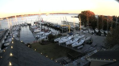
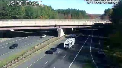
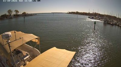

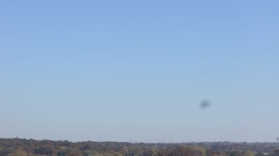
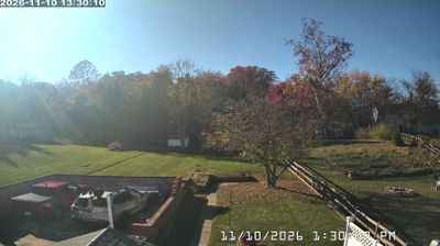

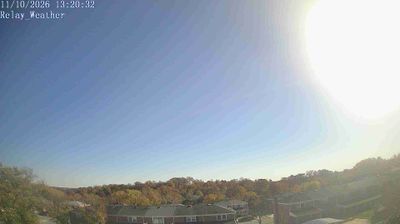
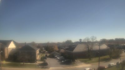

Highland Beach has served as an African American summer resort on Maryland’s Chesapeake Bay shore since the late 19th century. Charles Remond Douglass, a son of Frederick Douglass, bought land here in 1893 after being refused service at a nearby resort, helping establish a coastal community where Black families could own holiday homes. The town later became a gathering place for prominent African American professionals and public figures. The Frederick Douglass Museum and Cultural Center occupies the former home of Charles and Mary Douglass. Explore additional webcams nearby to better understand how Highland Beach relates to the Chesapeake Bay surroundings.
1 webcam
Maryland is widely known in the United States for Chesapeake Bay, the vast estuary that shapes much of its eastern shore. The state extends from Atlantic beaches and tidal wetlands across the bay’s low-lying Eastern Shore to rolling Piedmont country and the forested Appalachian west. Baltimore, its largest city, developed around a major harbor on the Patapsco River; Annapolis, the capital, is home to the United States Naval Academy. Seafood, particularly blue crabs, is central to Maryland’s food traditions, while the Chesapeake and Ohio Canal follows part of the Potomac River corridor. See Maryland in its wider Mid-Atlantic setting by browsing webcams nearby.
28 webcams
The Atlantic, Pacific and Gulf coasts define much of the United States — their ports, fisheries and trade routes have long tied the country’s economy to the wider world. Between them, the Rocky Mountains, Great Plains and Mississippi River basin form sharply different regions, from high western ranges to broad agricultural heartlands. Cities carry much of the national story: New York’s Statue of Liberty, a gift from France dedicated in 1886, remains an enduring symbol, while Washington, DC concentrates major federal institutions. Indigenous nations have shaped these lands for millennia, and their living cultures remain essential to the country’s identity. Find related webcams in the surrounding areas to build a fuller picture of the United States.
32K webcams