 MZ Donji Kotorac
The landscape around Sarajevo International Airport is a broad, built-up plain enclosed by the Dinaric Alps, which has shaped both the built environment and local life. Situated in the Sarajevo Field southwest of the centre, the airport is Bosnia and Herzegovina’s principal international air hub and an immediate introduction to the capital’s compact valley setting. Runways, apron space and terminal buildings sit beside low-rise neighbourhoods, with steep slopes rising beyond the plain. Sarajevo is the country’s political and cultural centre, shaped by Ottoman, Austro-Hungarian and Yugoslav eras; its historic core lies along the Miljacka River. The airport is also called Butmir, after the nearby suburb known for an important Neolithic archaeological site.
Generated by AI


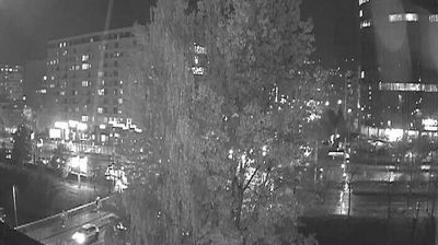





The landscape around MZ Donji Kotorac is a level, urbanised stretch of Sarajevo Field beneath the mountains surrounding the basin, which has shaped both its low-rise urban form and its ties to Sarajevo’s service economy. The settlement lies on Sarajevo’s southwestern side, close to Sarajevo International Airport, while Mount Trebević rises on the basin’s eastern flank and Igman anchors its southwest. It belongs to the wider Sarajevo urban area, whose historic centre preserves the Ottoman-era Baščaršija market quarter alongside Austro-Hungarian streets and public buildings. See how Donji Kotorac relates to the Sarajevo basin by browsing webcams nearby.
1 webcam
The Federation of Bosnia and Herzegovina combines rugged highlands with milder Herzegovinian river valleys in a way that reflects its position within the Dinaric Alps of the western Balkans. One of the two entities of Bosnia and Herzegovina, it extends from the Una basin near the Croatian border to the Neretva valley and the Adriatic-facing south. Sarajevo is its capital, while Mostar’s Old Bridge, rebuilt after the 1990s war and inscribed on UNESCO’s World Heritage List, remains a powerful symbol of the country’s urban heritage. Ottoman-era bazaars, mosques and bridges stand alongside Austro-Hungarian streetscapes, particularly in Sarajevo. Browse additional webcams from the surrounding area to extend your view of the Federation of Bosnia and Herzegovina.
77 webcams
Bosnia and Herzegovina is best known internationally for Mostar’s Old Bridge, the stone arch over the Neretva River rebuilt after the 1990s war. The country lies in the Dinaric Alps, where karst plateaus, steep valleys and fast rivers shape much of the terrain. Sarajevo combines Ottoman-era lanes in Baščaršija with Austro-Hungarian architecture, reflecting its role as a meeting point of cultural traditions. In the south, the Neretva valley leads towards a short Adriatic coastline near Neum, while the Una River is known for its waterfalls. Browse additional webcams from the surrounding area to extend your view of Bosnia and Herzegovina.
98 webcams