 South Holland
 occupies a low-lying agricultural plain in south Lincolnshire, England. The district forms part of the Fens, a broad region shaped by drainage channels, embanked rivers and intensively cultivated fields. The River Welland runs through its southern area toward the Wash, while Spalding is South Holland’s administrative centre. The area has long been associated with commercial horticulture and bulb growing, and its fertile soils also support major vegetable and potato crops. Seventeenth-century drainage schemes helped transform former wetland into productive farmland. Spalding and Holbeach sit among smaller fenland settlements, where dykes, wide roads and farm buildings reflect a landscape carefully managed for cultivation and water control.
Generated by AI

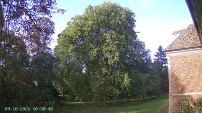
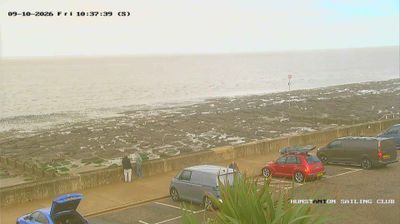

South Holland stretches across the reclaimed Fenland plain of south Lincolnshire, England, a low-lying setting where drainage channels and fertile soils have long shaped intensive farming. The district reaches the tidal edge of the Wash, while Spalding is its main town and a historic centre of the area’s flower and bulb-growing trade. In Spalding, Ayscoughfee Hall is a surviving 15th-century town house with gardens, adding a tangible link to the region’s past. Flat horizons, waterways and working fields give this part of the Fens a distinct character. Browse additional webcams from the surrounding area to extend your view of South Holland and the Lincolnshire Fens.
1 webcam
England’s lowland plains, upland ranges and extensive coastline define much of England - these contrasts have long shaped farming, maritime trade and the growth of its cities. The Midlands, where this location lies, sit at the country’s inland centre and were pivotal to Britain’s Industrial Revolution. The River Thames links London with the North Sea, while the Pennines form a major upland spine farther north. Roman roads, medieval cathedrals and industrial-era towns remain visible parts of the national fabric. Explore related webcams around England to build a fuller picture of this varied country.
1.2K webcams
The United Kingdom combines long-established institutions with sharply varied regional identities in a way that reflects its position within northwestern Europe. England, Scotland, Wales and Northern Ireland share a state while retaining distinct traditions, languages and landscapes. The River Thames runs through London, where the Palace of Westminster and the Tower of London mark centuries of national life; Edinburgh’s Old and New Towns are UNESCO-listed. The Highlands, Eryri’s mountains and Atlantic-facing coasts contrast with the densely settled southeast. Football, theatre, pub culture and music remain everyday threads in a country with global cultural influence. View additional webcams nearby to better understand how the United Kingdom relates to its Atlantic and European surroundings.
1.3K webcams