 Nenzing
Tucked between the Ill valley and the lower slopes of the Rätikon, Latz in Marktgemeinde Nenzing is a place whose character is shaped by grassland farming on the Walgau’s rising edge. This small settlement lies in Vorarlberg’s Walgau, where meadows and scattered farm buildings lead up from the broad Ill valley toward alpine terrain. Nenzing’s municipal area extends south into the Rätikon and includes the high pasture landscape known as the Nenzinger Himmel. Cattle pasture and hay meadows continue to define the open slopes around Latz. In Nenzing itself, the parish church of St. Mauritius is a cultural landmark for the wider community. Latz reflects a quieter, agricultural side of Vorarlberg beyond the valley’s main settlements.
Generated by AI
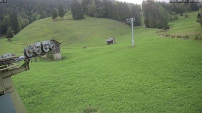
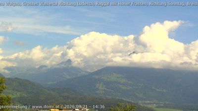
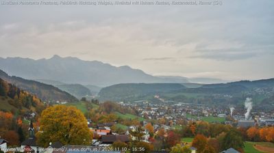
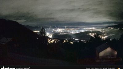

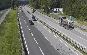

Marktgemeinde Nenzing occupies the transition from the Walgau valley to the Rätikon mountains in Vorarlberg. The Ill, a tributary of the Rhine, runs through the Walgau below the municipality, while Nenzing’s territory extends south into wooded valleys and alpine pastureland. Nenzinger Himmel, a high valley within the municipality, is among its best-known mountain areas and a starting point for routes into the Rätikon. Nenzing’s status as a Marktgemeinde reflects its long-standing role as a local market centre. Move on to other webcams in Vorarlberg to compare valley and mountain settings around Nenzing.
7 webcams
Built around Alpine valley routes and the Rhine corridor, Vorarlberg grew into Austria’s westernmost federal state, where the Alps meet the shores of Lake Constance. The Rhine forms much of its border with Switzerland, while the Bregenzerwald, Arlberg and Montafon give the region a strongly mountainous character. Bregenz, on Lake Constance, is known internationally for the Bregenz Festival and its lakeside floating stage. Compact towns, timber architecture and a long textile-manufacturing tradition reflect a region linked closely to neighbouring Switzerland, Germany and Liechtenstein. Find related webcams in the surrounding area to build a fuller picture of Vorarlberg.
274 webcams
Austria stretches from the Bohemian Massif along its northern edge to the Carnic Alps on the Italian border, encompassing high Alpine ranges and the Danube lowlands. The Danube links cities including Linz and Vienna, while the Grossglockner, at 3,798 metres, is the country’s highest mountain. Vienna developed for centuries as the seat of the Habsburg court, leaving imperial architecture around the Hofburg and Schönbrunn Palace. Salzburg is closely associated with Wolfgang Amadeus Mozart, who was born there in 1756. Alpine Tyrol, wine-growing areas east of Vienna and the lakes of Salzkammergut add markedly different regional identities. Browse other webcams across Austria to place this setting in a wider geographic context.
3.1K webcams