 Logan City: Waterford Tamborine Road
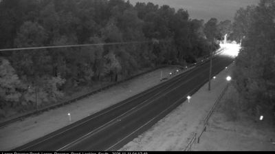
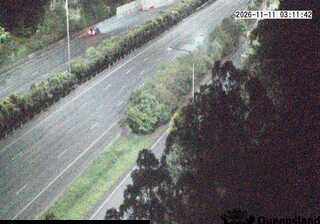
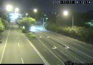
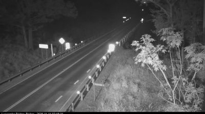
Logan City lies along the Logan River, where broad lowland floodplains and remaining rural land meet the expanding outer suburbs south of Brisbane. Waterford Tamborine Road passes through this transition zone near Dairy Creek, with open paddocks, scattered eucalyptus trees and roadside drainage reflecting the area’s agricultural past. The route forms part of the local road network across Logan’s southern fringe rather than a dense urban boulevard. The city takes its name from the Logan River, itself named after Captain Patrick Logan, commandant of the Moreton Bay penal settlement in the 1820s. This stretch retains the spacious, working-edge character found between established housing areas and the hinterland to the south.
Generated by AI






Tucked between Brisbane and the Gold Coast in southeast Queensland, Logan City is a place whose character is shaped by the Logan River, eucalypt bushland and a spread of closely linked suburbs. Rather than centring on one old CBD, this local-government city brings together communities from Logan Central and Kingston to Beenleigh and the rural fringe. Daisy Hill Conservation Park preserves a substantial tract of forest in the north, with tracks used for walking and mountain biking. In Kingston, the former butter factory has been adapted as the Kingston Butter Factory Cultural Precinct, hosting performances and community events. Browse additional webcams from the surrounding area to extend your view of Logan City and southeast Queensland.
7 webcams
Queensland extends from Torres Strait in the north to the New South Wales border in the south, encompassing a tropical coastline and a vast, dry interior. Along the Coral Sea, the Great Barrier Reef runs beside the state’s eastern shore, while inland plains, grazing country and long distances define much of central and western Queensland. This location lies in the interior, where settlements are widely spaced and open outback horizons contrast with the humid coast. Queensland is home to Aboriginal and Torres Strait Islander peoples, whose enduring connections to Country underpin its cultural identity. Browse additional webcams from central Queensland to extend your view of the state’s interior.
474 webcams
Australia’s terrain extends from tropical rainforests in the northeast to arid plains in the interior, producing dramatic climatic contrasts. The Great Dividing Range follows much of the eastern coast, while the Great Barrier Reef lies off Queensland in the Coral Sea and Uluru rises from the central desert. Aboriginal and Torres Strait Islander peoples maintain living cultures whose connections to Country long predate European settlement. In Sydney, the sail-like Opera House, completed in 1973, stands beside one of the world’s best-known harbours. Discover further points of interest through webcams located across Australia.
1.6K webcams