 Proserpine: Bruce Highway
Proserpine straddles the Proserpine River in Queensland’s Whitsunday region, where fertile lowlands and rail connections have made it a centre of the district’s sugar-cane industry. The town serves the mainland side of the Whitsundays, a coastal region associated with island resorts and the Great Barrier Reef. The Bruce Highway, Queensland’s principal north–south road link, passes through the surrounding cane country on its route between Brisbane and Cairns. Proserpine Sugar Mill remains central to the local harvest, while the low Conway Range marks the transition from agricultural plains toward the coast. Proserpine is also home to Whitsunday Coast Airport.
Generated by AI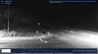
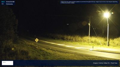
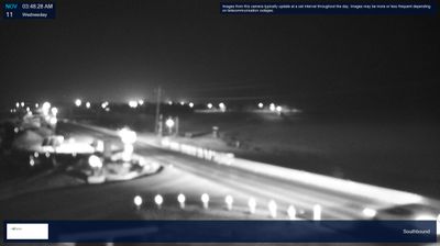


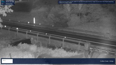


Proserpine lies along the Proserpine River, on a low-lying tropical plain between sugarcane fields and the forested uplands of the Whitsunday hinterland. As the administrative centre of the Whitsunday Region, it serves a broad district extending from rural cane country towards the Coral Sea coast. The Proserpine Sugar Mill remains central to the town’s working identity, reflecting an industry that has shaped local settlement and employment for generations. Inland from Airlie Beach and the Whitsunday Islands, Proserpine provides a grounded perspective on this part of Queensland beyond its resort shoreline. Find related webcams in the Whitsunday region to build a fuller picture of Proserpine.
11 webcams
Queensland extends from Torres Strait in the north to the New South Wales border in the south, encompassing a tropical coastline and a vast, dry interior. Along the Coral Sea, the Great Barrier Reef runs beside the state’s eastern shore, while inland plains, grazing country and long distances define much of central and western Queensland. This location lies in the interior, where settlements are widely spaced and open outback horizons contrast with the humid coast. Queensland is home to Aboriginal and Torres Strait Islander peoples, whose enduring connections to Country underpin its cultural identity. Browse additional webcams from central Queensland to extend your view of the state’s interior.
469 webcams
Australia’s terrain extends from tropical rainforests in the northeast to arid plains in the interior, producing dramatic climatic contrasts. The Great Dividing Range follows much of the eastern coast, while the Great Barrier Reef lies off Queensland in the Coral Sea and Uluru rises from the central desert. Aboriginal and Torres Strait Islander peoples maintain living cultures whose connections to Country long predate European settlement. In Sydney, the sail-like Opera House, completed in 1973, stands beside one of the world’s best-known harbours. Discover further points of interest through webcams located across Australia.
1.5K webcams