 Sulkava: Tie 435 - Savonlinnaan
The landscape around Sulkava is a mosaic of lakes and coniferous forest, which has shaped both the built environment and local life. This South Savo municipality lies on Lake Saimaa, part of Finland’s vast lake district, where narrow channels and wooded islands make water an enduring part of everyday geography. Forestry remains important in the surrounding countryside, while modest settlements are linked by roads and rail. Sulkava is best known for Sulkavan Suursoudut, an annual long-distance rowing event whose principal course circles Partalansaari island. The race gives this small community a distinctive place in Finnish rowing culture and connects its identity directly to the waterways of Saimaa.
Generated by AI
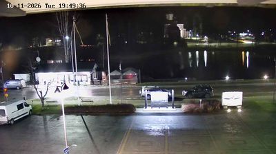
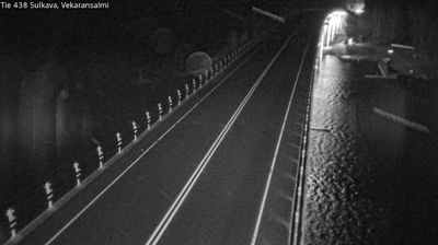

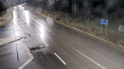
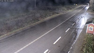


Among the communities of mainland Finland, Sulkava stands out for its deep connection to Lake Saimaa and long-distance rowing. Set amid the lake’s maze of wooded islands and narrow channels in South Savo, the municipality is shaped by water routes rather than a single urban centre. Each July, Sulkavan Suursoudut brings rowers to the traditional 60-kilometre course around Partalansaari, an event founded in 1968 that has made the place known across Finland. Saimaa is also home to the critically endangered Saimaa ringed seal, a species found nowhere else. Browse additional webcams from the surrounding area to extend your view of Sulkava and Lake Saimaa.
8 webcams
South Savo has served as a settlement heartland within eastern Finland since the Middle Ages. It lies at the centre of Finnish Lakeland, where Lake Saimaa opens into a far-reaching maze of islands, open water and narrow channels. Mikkeli, the regional capital, became the headquarters of Finland’s armed forces during the Winter War and Continuation War, a role reflected in its wartime heritage. Farther east, Savonlinna is associated with Olavinlinna, a 15th-century castle built to defend Sweden’s eastern frontier. Boating, summer cottages and forest-fringed shores remain central to local life, while waterways link towns and rural communities. Continue with other webcams from the area to see how this part of Finnish Lakeland connects regionally.
73 webcams
The terrain of Finland ranges from low coastal plains along the Gulf of Bothnia to fells in Lapland, creating a country of forests, lakes and long northern distances. More than 180,000 lakes shape everyday life, while the Lakeland region is threaded with waterways and islands. Helsinki, on the Gulf of Finland, combines neoclassical landmarks around Senate Square with contemporary Finnish design. Farther north, the Sámi are Finland’s only recognised Indigenous people, and their culture remains closely connected to the Arctic region. In winter, snow and ice transform the north; in summer, long daylight extends outdoor life well into the evening. Continue through nearby webcams to explore different parts of Finland.
1.7K webcams