 Glarus Sud
Few places in Glarus have a history as closely tied to hydropower as Oberblegisee. This high-altitude reservoir lies in the Glarus Alps above Luchsingen, where steep slopes of grass, rock and conifer woodland close around the water. Its stored water forms part of a mountain system developed to generate electricity, giving practical purpose to otherwise remote terrain. Trails make Oberblegisee a destination within the upper Linth valley’s Alpine walking country. Since 2011, Luchsingen has belonged to the municipality of Glarus Süd, an administrative union of communities extending across the upper Linth and Sernf valleys. The lake’s compact scale and rugged setting express the close relationship between engineering and the mountains in this canton.
Generated by AI
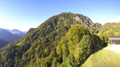


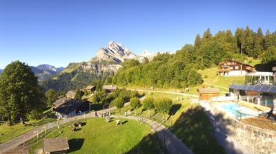
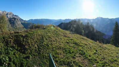
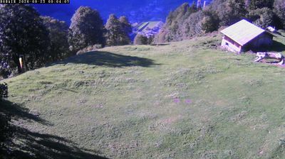
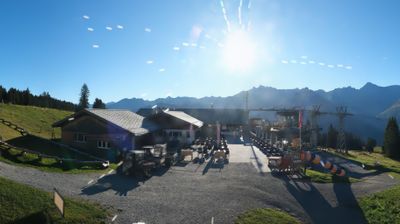

Glarus Süd straddles the upper Linth River in the canton of Glarus, and its settlements have developed along a steep Alpine valley beneath the Glarus Alps. Formed in 2011 by the merger of eight municipalities, it is Switzerland’s largest municipality by area and includes communities such as Elm, Linthal and Schwanden. Above Elm, the Martinsloch is a natural opening in a rock face through which the sun shines at particular times of year; this landscape belongs to the UNESCO-listed Swiss Tectonic Arena Sardona. Hiking routes, mountain railways and the Klausen Pass road connect the valley with higher terrain. Explore further webcams nearby to see how Glarus Süd relates to the Linth valley and surrounding peaks.
8 webcams
Glarus combines a compact alpine valley with a long civic tradition in a way that reflects its position within eastern Switzerland. The Linth runs through the canton beneath the Glarus Alps, where steep valley sides and high passes have long shaped settlement and travel. Its defining geological landmark is the UNESCO-listed Swiss Tectonic Arena Sardona: the Glarus Thrust places older rock layers above younger ones. Glarus also retains the legacy of the Landsgemeinde, the open-air cantonal assembly formerly held in its capital, and is associated with Schabziger, a green cheese flavoured with blue fenugreek. Explore nearby webcam locations that provide complementary perspectives on Glarus.
19 webcams
Switzerland stretches from the Jura Mountains in the northwest to the Alps in the south, encompassing a central plateau of cities, farms and lakes. The Rhine rises in the Swiss Alps, while Lake Geneva forms part of the country’s southwestern border. Zürich, Geneva and Basel are major urban centres, yet mountain railways and passes remain central to how many regions are experienced. Four national languages—German, French, Italian and Romansh—reflect Switzerland’s distinct cantonal identities. The Matterhorn above Zermatt is among Europe’s most recognisable peaks, and the 1291 Federal Charter is closely associated with the country’s founding tradition. Continue through nearby webcams to explore different parts of Switzerland.
1.5K webcams