 Neo Souli: Menoikion Oros
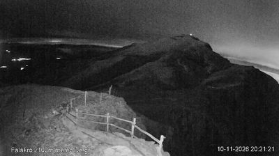
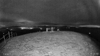
Menoikion Oros occupies the eastern rim of the Serres plain in Greek Macedonia, rising above Neo Souli and the agricultural lowlands of the Strymonas basin. This limestone range forms part of the wider Rhodope mountain system, with ridges of scrub, woodland and exposed rock rather than a single sharply defined summit. Its highest point, Mavromata, reaches 1,963 metres. The slopes east of Serres also hold the Monastery of Timios Prodromos, a Byzantine foundation established in 1270 and among northern Greece’s important monastic sites. Menoikion creates a distinct transition here from cultivated plain to upland terrain.
Generated by AI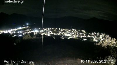


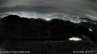
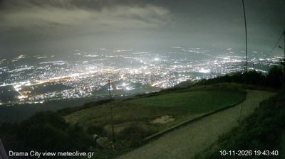
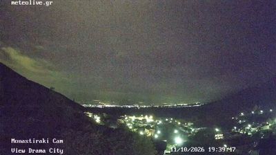

Neo Souli combines a settled rural character with the broad openness of the Serres plain in a way that reflects its position between the Strymonian lowlands and the foothills of the Menoikio Mountains. The community lies east of Serres, in Central Macedonia’s agricultural interior, where cultivated fields lead towards higher ground. It belongs to the municipality of Emmanouil Pappas, named after a leading figure of the Greek War of Independence of 1821 who came from this area. Serres, the regional centre, provides an urban counterpoint with its Byzantine-era fortress above the city. Move on to other webcams in Macedonia and Thrace to compare landscapes and settings around the Serres plain.
1 webcam
Macedonia and Thrace has served as a cultural crossroads in the Greek lands since antiquity. Around the lower Strymon River, fertile plains meet the foothills and routes that have long linked the Aegean coast with the Balkan interior. Ancient Amphipolis, founded by Athenians in 437 BC, grew beside a strategic crossing of the Strymon and later became an important Macedonian and Roman centre. Farther east, the archaeological site of Philippi recalls the Roman Via Egnatia and the region’s place in Mediterranean travel and trade. Browse other webcams across Macedonia and Thrace to place this setting in a wider geographic context.
70 webcams
Greece occupies a mountainous peninsula and island-dotted coastline in southeastern Europe. The Aegean Sea shapes its eastern shore, while the Ionian Sea lies to the west; Crete is the country’s largest island. Athens is anchored by the Acropolis, where the Parthenon has stood since the fifth century BCE as a defining monument of classical antiquity. Beyond the capital, the Pindus Mountains run through the mainland, and Mount Olympus is associated in ancient Greek religion with the home of the gods. Greek food traditions centre on olive oil, seafood, cheeses and regional dishes, with long meals remaining an important part of social life. Continue through nearby webcams to explore the islands and mainland regions of Greece.
486 webcams