 Eiken
Among the places of Aargau, Eiken stands out for its setting in the Fricktal, where the Sissle valley meets the lower wooded folds of the Jura. This German-speaking municipality lies in northwestern Switzerland, not far from the Rhine, with a compact residential centre set among farmland and gently rising slopes. The surrounding terrain gives Eiken a distinctly rural scale, while the Fricktal remains an important corridor between Basel and the Swiss interior. Its wider history is equally telling: Fricktal was Habsburg territory until the early 19th century and became part of the canton of Aargau in 1803. Eiken reflects this borderland region through its village settlement pattern and agricultural surroundings.
Generated by AI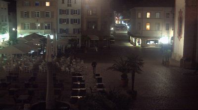




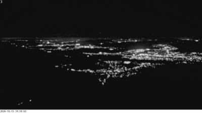

Built around a rural settlement in the Fricktal, Eiken grew into a modern Aargau community between the Rhine valley and the wooded folds of the Tafeljura. The Rhine runs just north of the municipality, forming Switzerland’s frontier with Germany, while rail connections place Eiken on the Basel–Brugg route. The locality belongs to the German-speaking Fricktal, a district with a longstanding wine-growing tradition; vineyards around the village remain part of its agricultural setting. Eiken is a compact place shaped by farming, commuting and its position in northwestern Switzerland. Trace Eiken’s place between the Rhine and the Jura by browsing webcams across Aargau.
1 webcam
Aargau occupies a northern stretch of the Swiss Plateau and the Jura foothills in Switzerland. The River Aare is the canton’s defining waterway, flowing through towns and fertile valleys before reaching the Rhine near Koblenz. To the south and west, wooded Jura ridges contrast with the more open lowlands around Aarau, the cantonal capital. Aargau also has a lasting place in European history: Habsburg Castle, above the Aare valley, was the ancestral seat of the Habsburg dynasty. Baden is known for its thermal springs, used since Roman times. Explore nearby webcam locations that provide complementary perspectives on Aargau’s river valleys and Jura slopes.
36 webcams
Switzerland stretches from the Jura Mountains in the northwest to the Alps in the south, encompassing a central plateau of cities, farms and lakes. The Rhine rises in the Swiss Alps, while Lake Geneva forms part of the country’s southwestern border. Zürich, Geneva and Basel are major urban centres, yet mountain railways and passes remain central to how many regions are experienced. Four national languages—German, French, Italian and Romansh—reflect Switzerland’s distinct cantonal identities. The Matterhorn above Zermatt is among Europe’s most recognisable peaks, and the 1291 Federal Charter is closely associated with the country’s founding tradition. Continue through nearby webcams to explore different parts of Switzerland.
1.5K webcams