 East Blythe: I-10 : (561) East of SR-95
East Blythe lies along the Colorado River in the Palo Verde Valley, where irrigated fields meet desert ground and low mountain ridges. Route 95 runs through this lightly built-up part of the Blythe area and links local roads with Interstate 10. The Colorado also forms California’s border with Arizona here. The valley’s farming identity was reinforced by the creation of the Palo Verde Irrigation District in 1918, using river water to cultivate broad tracts in an otherwise arid corner of southeastern California. East Blythe retains the open, workaday character of a transport and agricultural corridor rather than a dense urban district.
Generated by AI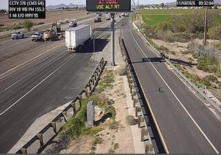
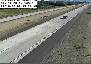
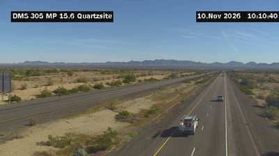
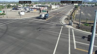


Few communities in southeastern California have a history as closely tied to irrigated agriculture along the Colorado River as East Blythe. On the eastern side of Blythe, it lies in the Palo Verde Valley, where cultivated land meets the Colorado Desert and the Arizona state line follows the river. The wider area is associated with the Blythe Intaglios, large geoglyphs created by Indigenous people in the nearby desert. East Blythe reflects a borderland shaped by farming, desert routes, and the Colorado River. Explore nearby webcam locations that provide complementary perspectives on East Blythe and the Colorado River valley.
2 webcams
California occupies a long Pacific coastal belt in the United States. Its terrain ranges from the Sierra Nevada and the fertile Central Valley to deserts in the southeast and the rugged shores of the Pacific Ocean. The state includes both Mount Whitney, the highest point in the contiguous United States, and extensive protected lands such as Yosemite National Park. California’s cities have exerted worldwide influence through film, technology, agriculture, and music; Hollywood remains an enduring symbol of the American screen industry. Its scale means climates and local character can change dramatically from one county to the next. Continue through nearby webcams to explore different parts of California.
2.9K webcams
The Atlantic, Pacific and Gulf coasts define much of the United States — their ports, fisheries and trade routes have long tied the country’s economy to the wider world. Between them, the Rocky Mountains, Great Plains and Mississippi River basin form sharply different regions, from high western ranges to broad agricultural heartlands. Cities carry much of the national story: New York’s Statue of Liberty, a gift from France dedicated in 1886, remains an enduring symbol, while Washington, DC concentrates major federal institutions. Indigenous nations have shaped these lands for millennia, and their living cultures remain essential to the country’s identity. Find related webcams in the surrounding areas to build a fuller picture of the United States.
32K webcams