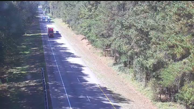
 Adams Landing: I-95 N @ MM 102.5
Few places in South Carolina have a history as closely tied to the Santee River corridor as Adams Landing. This small settlement lies beside Interstate 95 in the state’s interior, where a broad, divided highway runs through flat, heavily wooded land. I-95 is one of the principal north–south roads on the U.S. East Coast, connecting Maine with Florida and making this stretch part of a much larger long-distance route. Lake Marion, formed in 1941 by the Santee Cooper project, lies nearby and is South Carolina’s largest lake by surface area. The lake and river system have long shaped settlement, power generation and recreation in this part of the state. Adams Landing represents the rural side of a corridor better known for through traffic.
Generated by AI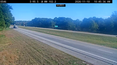
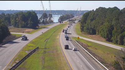
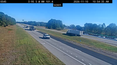
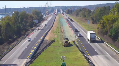
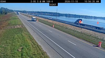
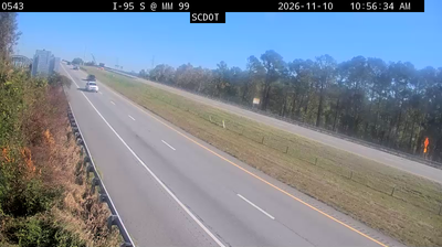
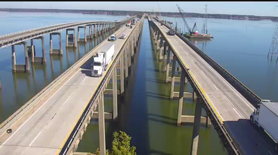


Adams Landing combines a quiet lakeside setting with the broad waters of Lake Marion in a way that reflects its position in South Carolina’s Santee Cooper lake country. This small locality lies in a low, wooded part of the state where coves, wetland margins and open water shape the rhythm of travel and recreation. Lake Marion was formed in 1941 when Santee Dam impounded the Santee River for the Santee Cooper project, a major chapter in South Carolina’s twentieth-century infrastructure. Santee State Park, on the lake’s shore, adds trails and public access to this reservoir landscape. Browse additional webcams around Lake Marion and the Santee Cooper region to extend your view of South Carolina’s lake country.
5 webcams
Among the regions of the United States, South Carolina stands out for its sweep from the Atlantic coast and tidal Lowcountry to the foothills of the Blue Ridge. Its shoreline combines barrier islands, salt marshes and estuaries, with Charleston long established as one of the country’s important Atlantic port cities. Fort Sumter, in Charleston Harbor, is where the American Civil War began in 1861. Farther inland, Congaree National Park protects a notable expanse of old-growth bottomland hardwood forest, while Columbia serves as the state capital. Discover other points of interest through webcams located across South Carolina.
800 webcams
The Atlantic, Pacific and Gulf coasts define much of the United States — their ports, fisheries and trade routes have long tied the country’s economy to the wider world. Between them, the Rocky Mountains, Great Plains and Mississippi River basin form sharply different regions, from high western ranges to broad agricultural heartlands. Cities carry much of the national story: New York’s Statue of Liberty, a gift from France dedicated in 1886, remains an enduring symbol, while Washington, DC concentrates major federal institutions. Indigenous nations have shaped these lands for millennia, and their living cultures remain essential to the country’s identity. Find related webcams in the surrounding areas to build a fuller picture of the United States.
32K webcams