 Siikalatva: Tie 4 - Hyttikoski - Jyväskylään
Siikalatva lies along the Siikajoki river valley in North Ostrobothnia, where low wooded terrain and cultivated clearings extend across the Finnish interior. The municipality was created in 2009 through the merger of Kestilä, Piippola, Pulkkila and Rantsila, leaving its settlements widely dispersed rather than concentrated in one urban centre. National Road 4, Finland’s principal north–south route, crosses the area and connects local communities with Oulu and the far north. Around Hytinkoski, the road runs through managed conifer forest and open roadside land. Forestry, peatlands and small-scale farming all shape Siikalatva, a place defined by long distances and practical transport links.
Generated by AI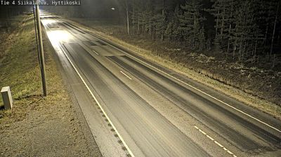
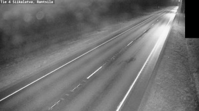
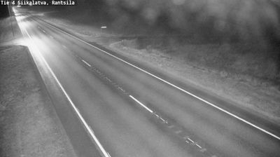


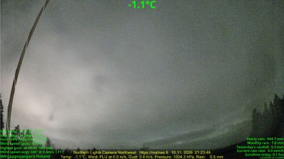
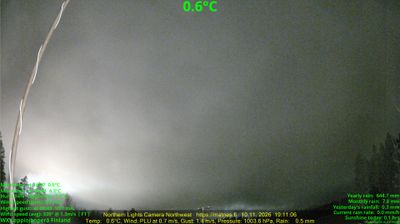
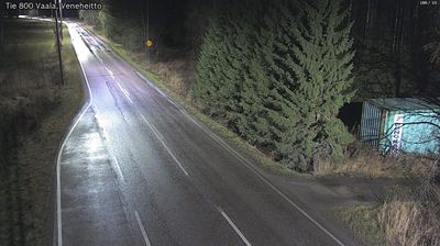

Set along the Siikajoki River in North Ostrobothnia, Siikalatva is a municipality whose character has been shaped by the broad, low-lying river valley and its farms. Forests, peatlands and cultivated fields extend beyond its settlements, placing everyday life firmly in Finland’s inland north rather than on the Baltic coast. The present municipality was created in 2009 through the union of Kestilä, Piippola, Pulkkila and Rantsila, linking several long-established local centres. The Siikajoki remains a clear geographical thread through this rural part of the region. Move on to other webcams in North Ostrobothnia to compare river valleys, forests and coastal settings around Siikalatva.
2 webcams
North Ostrobothnia stretches from the Gulf of Bothnia coast to forested uplands near Finland’s eastern border, encompassing low river plains, peatlands and northern boreal wilderness. The Oulujoki flows through the regional capital, Oulu, before reaching the sea; the city was founded in 1605 and remains an important centre for northern Finland. Inland, Kuusamo and the Ruka area bring a more rugged character, with extensive forests and a strong winter-sports tradition. Along the coast, open horizons and changing Baltic conditions shape daily life. Discover other points of interest through webcams located across North Ostrobothnia.
259 webcams
The terrain of Finland ranges from low coastal plains along the Gulf of Bothnia to fells in Lapland, creating a country of forests, lakes and long northern distances. More than 180,000 lakes shape everyday life, while the Lakeland region is threaded with waterways and islands. Helsinki, on the Gulf of Finland, combines neoclassical landmarks around Senate Square with contemporary Finnish design. Farther north, the Sámi are Finland’s only recognised Indigenous people, and their culture remains closely connected to the Arctic region. In winter, snow and ice transform the north; in summer, long daylight extends outdoor life well into the evening. Continue through nearby webcams to explore different parts of Finland.
1.7K webcams