 Montreat
Mount Mitchell lies along the crest of North Carolina’s Black Mountains, where steep, forested ridges form part of the southern Appalachian chain. At 6,684 feet (2,037 metres), it is the highest summit east of the Mississippi River and the centerpiece of Mount Mitchell State Park. The upper slopes support a rare spruce-fir forest more typical of colder northern latitudes, while Pisgah National Forest surrounds the park. The peak is named for Elisha Mitchell, the University of North Carolina professor who measured it in the 1830s; he died on the mountain in 1857. A summit road and trails provide access to this rugged section of western North Carolina.
Generated by AI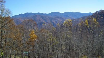
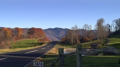



The landscape around Montreat is steep, forested Blue Ridge Mountain terrain, which has shaped both its compact settlement pattern and a local economy centred on conferences and education. The town occupies a mountain cove beside Black Mountain, east of Asheville, with Lake Susan at the centre of the Montreat Conference Center grounds. Founded in 1897 as the Mountain Retreat Association, Montreat remains closely associated with Presbyterian gatherings, while Montreat College gives the small community an academic presence. Forest trails begin close to its streets, creating a markedly slower rhythm than the nearby Asheville area. Explore nearby locations that provide complementary perspectives on Montreat and the Blue Ridge Mountains.
1 webcam
Among the regions of the United States, North Carolina stands out for its sweep from the Blue Ridge Mountains across the Piedmont to the Atlantic’s barrier islands. The coordinates lie in the central Piedmont, where rolling, wooded terrain and growing communities link the mountain country with the coastal plain. To the west, the Blue Ridge Parkway follows the Appalachian highlands; eastward, the Outer Banks form a long sandy edge facing the Atlantic. North Carolina holds an enduring place in aviation history: the Wright brothers made the first successful powered flight near Kitty Hawk in 1903. Barbecue traditions and university towns add further character to this state of distinct regions. Discover North Carolina in its wider Southeastern setting by browsing webcams in nearby areas.
58 webcams
The Atlantic, Pacific and Gulf coasts define much of the United States — their ports, fisheries and trade routes have long tied the country’s economy to the wider world. Between them, the Rocky Mountains, Great Plains and Mississippi River basin form sharply different regions, from high western ranges to broad agricultural heartlands. Cities carry much of the national story: New York’s Statue of Liberty, a gift from France dedicated in 1886, remains an enduring symbol, while Washington, DC concentrates major federal institutions. Indigenous nations have shaped these lands for millennia, and their living cultures remain essential to the country’s identity. Find related webcams in the surrounding areas to build a fuller picture of the United States.
32K webcams