 District of Košice III: Most Hlinkova
The Košice Basin defines the setting of Most Hlinkova in Košice — its broad urban floor concentrates major roads between the city’s northern districts and centre. Most Hlinkova forms part of a prominent transport junction, where elevated road sections, ramps and multilane streets underline Košice’s role as eastern Slovakia’s administrative and economic centre. Wooded slopes rise around the basin, while the Hornád passes through the eastern part of the city. Košice’s historic core is centred on the Gothic St Elisabeth Cathedral, a reminder of the city’s medieval development; in 2013, Košice held the title of European Capital of Culture.
Generated by AI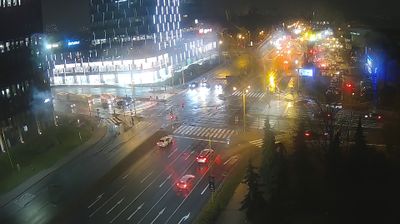
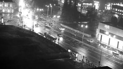
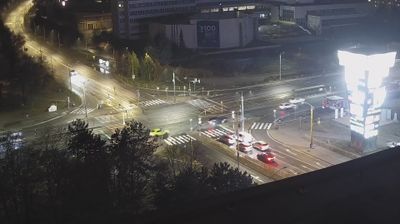
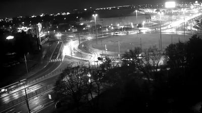






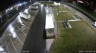

Set between Košice’s eastern residential slopes and the foothills of the Slanské vrchy, District of Košice III is an urban borough whose character is shaped by terrain rising above the Hornád valley. Its built-up core includes Dargovských hrdinov, a large housing estate laid out on higher ground, while Košická Nová Ves retains the identity of a former village incorporated into Košice. West of the borough, the city’s historic centre is marked by Gothic St Elisabeth Cathedral, Slovakia’s largest church. Together, these neighbourhoods show how Košice extends from a medieval core towards the wooded eastern hills. Place Košice III in its wider setting by browsing webcams around Košice and the Slanské vrchy.
1 webcam
The Region of Košice combines the urban energy of Slovakia’s second-largest city with the broad, quieter landscapes of the east in a way that reflects its position between the Slovak Ore Mountains and the lowlands near Hungary. Košice is centred on Hlavná ulica, where St Elisabeth Cathedral forms the Gothic focal point of the historic core. Beyond the city, the Hornád River crosses a region of wooded hills, farmland and karst terrain. Slovak Karst National Park, known for its extensive cave systems, adds a distinct geological dimension to this corner of Slovakia. Browse additional webcams from the surrounding area to extend your view of eastern Slovakia.
26 webcams
Slovakia is best known internationally for the High Tatras, whose granite summits form the country’s most celebrated mountain landscape. Gerlachovský štít, at 2,655 metres, is the highest peak in Slovakia and in the Carpathians. The Danube runs past Bratislava, where Bratislava Castle stands on a hill above the river, linking the capital to Central Europe’s major waterway. Beyond the cities, forests, karst terrain and small historic towns define much of the country. Slovakia’s long folk tradition is also represented by the fujara, a large shepherd’s flute recognised by UNESCO. Browse additional webcams from the surrounding area to extend your view of the High Tatras and the Danube region.
284 webcams