 Howick
 is best known in New Zealand for its origins as a Fencible settlement, established in 1847 for retired British soldiers and their families. The town lies in Auckland’s eastern suburbs near the tidal Tāmaki River, whose estuary connects the local shoreline with the Tāmaki Strait and the Hauraki Gulf. Howick Historical Village preserves relocated 19th-century buildings and interprets the community created by those early settlers. The town centre retains a village-scale shopping street, while coastal reserves and small inlets give this part of Auckland a close relationship with the water.
Generated by AI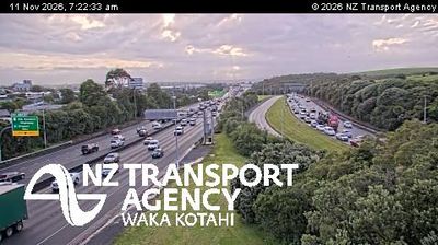

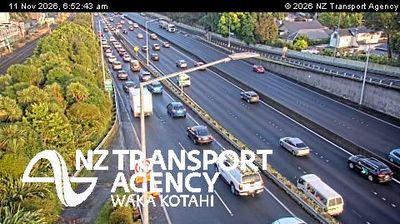


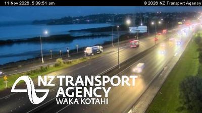
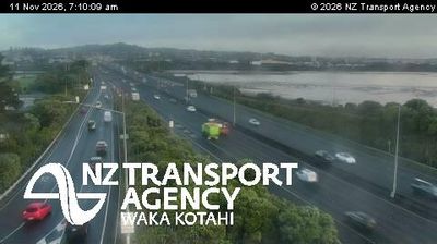

Howick occupies a coastal ridge on the eastern side of the Tāmaki River estuary in Auckland. The Hauraki Gulf coast lies close by, placing this established suburb within Auckland’s network of waterfront communities. In 1847, Howick was founded as one of Auckland’s Fencible settlements, home to retired British soldiers expected to support the defence of the young colonial town. Howick Historical Village preserves this chapter through relocated heritage buildings and demonstrations of 19th-century life. Today, local shops and cafés give the town centre a practical, lived-in character, while nearby bays and reserves provide easy access to the coast. Discover further points of interest through webcams across Auckland and the Hauraki Gulf.
1 webcam
Among New Zealand’s regions, Auckland stands out for its urban setting between two harbours and the islands of the Hauraki Gulf. The region occupies a narrow isthmus, with Waitematā Harbour opening towards the Pacific and Manukau Harbour reaching the Tasman Sea. More than 50 volcanic cones and craters form the Auckland volcanic field; Maungawhau / Mount Eden is among its most recognisable landmarks. Auckland is also New Zealand’s largest city and a major centre of Māori and Pacific communities, reflected in its food, arts and public life. Continue to other webcams in the region to compare coastal, harbour and city settings around Auckland.
124 webcams
New Zealand combines Pacific isolation with strong ties to the wider South Pacific in a way that reflects its position between the Tasman Sea and the open Pacific Ocean. The country’s two main islands are divided by Cook Strait, while the Southern Alps run along much of the South Island and include Aoraki / Mount Cook, its highest mountain. On the North Island, volcanic terrain shapes Tongariro National Park and the central plateau; long coastlines frame cities such as Auckland and Wellington. Māori culture is central to national life, and the Treaty of Waitangi, first signed in 1840, remains a foundational document in relations between Māori and the Crown. See how New Zealand fits within the wider South Pacific by browsing webcams nearby.
471 webcams