 Prnjavor: GP Izačić
The landscape around Izačić is a rolling, wooded karst borderland, which has shaped both the built environment and local life. Izačić is an international road crossing between Bosnia and Herzegovina and Croatia, paired with Ličko Petrovo Selo on the Croatian side. It stands west of Bihać, the administrative centre of Una-Sana Canton, in a wider region shaped by the Una River and the Dinaric karst. The crossing lies on the M5 approach to the border, making it an important overland connection for passenger vehicles and freight between the Bihać area and inland Croatia. Bihać also holds a significant place in Yugoslav history: the first session of the Anti-Fascist Council for the National Liberation of Yugoslavia, AVNOJ, met there in 1942. Izačić is part of a border corridor linking the Una valley with Croatia.
Generated by AI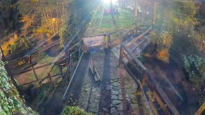


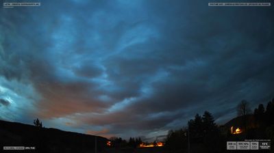
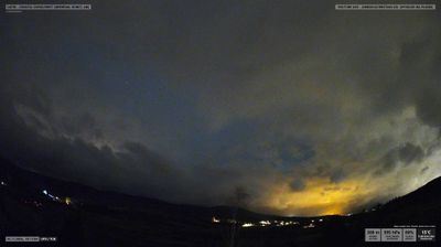


Prnjavor occupies a karst upland beside the Croatian border in northwestern Bosnia and Herzegovina. The Una River flows through nearby Bihać, a regional centre whose old core includes the Fethija Mosque, an Ottoman-era conversion of a medieval church. This rural borderland combines wooded slopes and open fields, while the Izačić–Ličko Petrovo Selo border crossing connects the area with Croatia. Find related webcams around Prnjavor and the Una-Sana region to build a fuller picture of this borderland.
1 webcam
The Federation of Bosnia and Herzegovina combines rugged highlands with milder Herzegovinian river valleys in a way that reflects its position within the Dinaric Alps of the western Balkans. One of the two entities of Bosnia and Herzegovina, it extends from the Una basin near the Croatian border to the Neretva valley and the Adriatic-facing south. Sarajevo is its capital, while Mostar’s Old Bridge, rebuilt after the 1990s war and inscribed on UNESCO’s World Heritage List, remains a powerful symbol of the country’s urban heritage. Ottoman-era bazaars, mosques and bridges stand alongside Austro-Hungarian streetscapes, particularly in Sarajevo. Browse additional webcams from the surrounding area to extend your view of the Federation of Bosnia and Herzegovina.
77 webcams
Bosnia and Herzegovina is best known internationally for Mostar’s Old Bridge, the stone arch over the Neretva River rebuilt after the 1990s war. The country lies in the Dinaric Alps, where karst plateaus, steep valleys and fast rivers shape much of the terrain. Sarajevo combines Ottoman-era lanes in Baščaršija with Austro-Hungarian architecture, reflecting its role as a meeting point of cultural traditions. In the south, the Neretva valley leads towards a short Adriatic coastline near Neum, while the Una River is known for its waterfalls. Browse additional webcams from the surrounding area to extend your view of Bosnia and Herzegovina.
98 webcams