 Jazine: Neum - TIOIL
Neum has served as Bosnia and Herzegovina’s sole Adriatic coastal town since the country’s independence in 1992. Set on narrow Neum Bay, it is the country’s short outlet to the Adriatic Sea and its only municipality on that coast. The town lies on the main route through the Neum Corridor, the strip of Bosnian territory separating Croatia’s southernmost coast from the rest of the country. This unusual boundary dates to 1699, when the Republic of Ragusa ceded the coastal strip to the Ottoman Empire. Roads, shops and apartment buildings line Neum’s compact built-up area, while low karst hills rise behind the bay. The Pelješac Bridge has diverted much Croatia-bound through traffic, but Neum remains the administrative and commercial centre of Bosnia and Herzegovina’s coast.
Generated by AI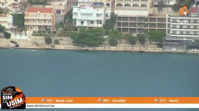
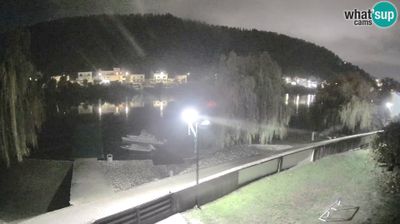

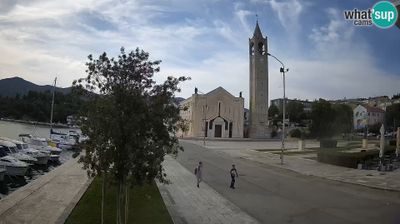



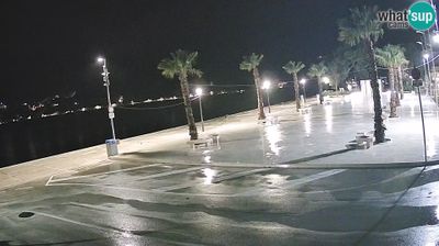

The landscape around Jazine is a steep, limestone-edged Adriatic shore, which has shaped both the settlement pattern and local economy. Set on Neum Bay, this small locality occupies Bosnia and Herzegovina’s narrow strip of coastline, where buildings and visitor facilities follow the water’s edge and the slopes behind it. Jazine lies in the municipality of Neum, the country’s only municipality on the Adriatic; this geographical distinction has made the wider area a familiar summer destination for travellers from inland Bosnia and Herzegovina. Its character is defined by the sheltered bay and the coastal geography shared with the southern Dalmatian region. Discover other coastal points of interest through webcams located across Neum municipality and Bosnia and Herzegovina.
1 webcam
The Federation of Bosnia and Herzegovina combines rugged highlands with milder Herzegovinian river valleys in a way that reflects its position within the Dinaric Alps of the western Balkans. One of the two entities of Bosnia and Herzegovina, it extends from the Una basin near the Croatian border to the Neretva valley and the Adriatic-facing south. Sarajevo is its capital, while Mostar’s Old Bridge, rebuilt after the 1990s war and inscribed on UNESCO’s World Heritage List, remains a powerful symbol of the country’s urban heritage. Ottoman-era bazaars, mosques and bridges stand alongside Austro-Hungarian streetscapes, particularly in Sarajevo. Browse additional webcams from the surrounding area to extend your view of the Federation of Bosnia and Herzegovina.
76 webcams
Bosnia and Herzegovina is best known internationally for Mostar’s Old Bridge, the stone arch over the Neretva River rebuilt after the 1990s war. The country lies in the Dinaric Alps, where karst plateaus, steep valleys and fast rivers shape much of the terrain. Sarajevo combines Ottoman-era lanes in Baščaršija with Austro-Hungarian architecture, reflecting its role as a meeting point of cultural traditions. In the south, the Neretva valley leads towards a short Adriatic coastline near Neum, while the Una River is known for its waterfalls. Browse additional webcams from the surrounding area to extend your view of Bosnia and Herzegovina.
97 webcams