 Grabantići: Donji Vakuf - Restoran Di Casa
Tucked into the upper Vrbas valley, Grabantići is a place whose character is shaped by steep, forested hillsides and the road corridor through central Bosnia. This small settlement lies north of Donji Vakuf, where the Vrbas continues toward Jajce; homes, fields and roadside services use the limited level ground between the slopes. The M5 is a principal link between Travnik, Donji Vakuf and Jajce, giving this rural stretch a practical role in travel across the country. Donji Vakuf developed during the Ottoman period, while the surrounding municipality retains the settled, agricultural character of Bosnia’s interior uplands.
Generated by AI
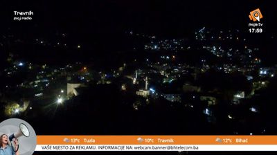
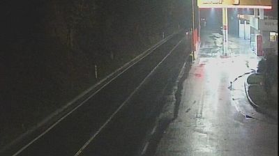

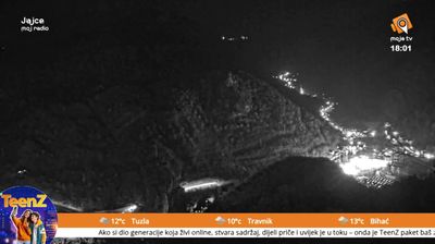
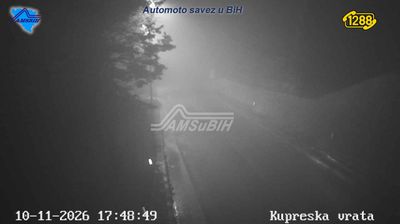



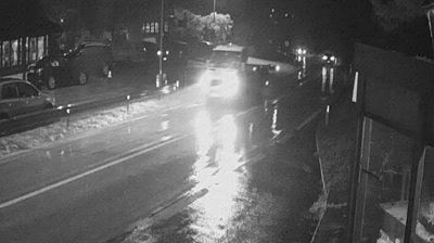

Grabantići lies in the uplands of the Vrbas River basin in central Bosnia, where wooded slopes and small agricultural clearings define the settled landscape. This is a rural part of the Federation of Bosnia and Herzegovina, shaped by the dispersed hamlets and local roads typical of the country’s interior. The surrounding terrain reflects Bosnia’s strongly varied relief, with valleys providing the principal routes between communities. Discover other points of interest through webcams located across central Bosnia and Herzegovina.
1 webcam
The Federation of Bosnia and Herzegovina combines rugged highlands with milder Herzegovinian river valleys in a way that reflects its position within the Dinaric Alps of the western Balkans. One of the two entities of Bosnia and Herzegovina, it extends from the Una basin near the Croatian border to the Neretva valley and the Adriatic-facing south. Sarajevo is its capital, while Mostar’s Old Bridge, rebuilt after the 1990s war and inscribed on UNESCO’s World Heritage List, remains a powerful symbol of the country’s urban heritage. Ottoman-era bazaars, mosques and bridges stand alongside Austro-Hungarian streetscapes, particularly in Sarajevo. Browse additional webcams from the surrounding area to extend your view of the Federation of Bosnia and Herzegovina.
76 webcams
Bosnia and Herzegovina is best known internationally for Mostar’s Old Bridge, the stone arch over the Neretva River rebuilt after the 1990s war. The country lies in the Dinaric Alps, where karst plateaus, steep valleys and fast rivers shape much of the terrain. Sarajevo combines Ottoman-era lanes in Baščaršija with Austro-Hungarian architecture, reflecting its role as a meeting point of cultural traditions. In the south, the Neretva valley leads towards a short Adriatic coastline near Neum, while the Una River is known for its waterfalls. Browse additional webcams from the surrounding area to extend your view of Bosnia and Herzegovina.
97 webcams