 Šići: Tuzla - Šićki Brod (Bingo)
The landscape around Sici is a low, wooded belt of hills on the outskirts of Tuzla, which has shaped both the built environment and local life. This settlement lies within the Tuzla urban area in northeastern Bosnia and Herzegovina, where transport corridors run between developed land and the surrounding slopes. Tuzla is the region’s principal city and has long been associated with salt: its name derives from the Turkish word for salt, while salt extraction has defined the area’s economy and identity for centuries. The city also developed as an industrial centre, particularly through mining and energy production. Sici reflects the functional edge of this urban basin, where roads, public transport and scattered housing link Tuzla with neighbouring communities.
Generated by AI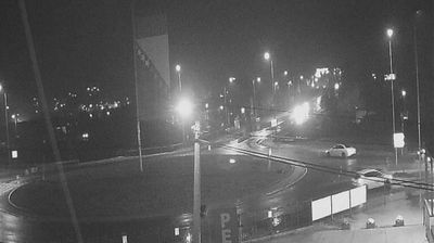
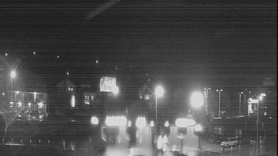
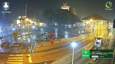


Sici occupies the lowland fringe west of Tuzla in northeastern Bosnia and Herzegovina. Lake Modrac lies nearby, a reservoir formed on the Spreča River, while wooded slopes and cultivated land define the wider Tuzla Basin. Tuzla, the area’s main city, has long been linked with salt; its name derives from the Turkish word tuzla, meaning saltworks. Coal mining and industry have also shaped this part of the country, alongside the everyday life of settlements spread through the Spreča valley. Continue through nearby webcams to explore different parts of Tuzla and northeastern Bosnia.
1 webcam
The Federation of Bosnia and Herzegovina combines rugged highlands with milder Herzegovinian river valleys in a way that reflects its position within the Dinaric Alps of the western Balkans. One of the two entities of Bosnia and Herzegovina, it extends from the Una basin near the Croatian border to the Neretva valley and the Adriatic-facing south. Sarajevo is its capital, while Mostar’s Old Bridge, rebuilt after the 1990s war and inscribed on UNESCO’s World Heritage List, remains a powerful symbol of the country’s urban heritage. Ottoman-era bazaars, mosques and bridges stand alongside Austro-Hungarian streetscapes, particularly in Sarajevo. Browse additional webcams from the surrounding area to extend your view of the Federation of Bosnia and Herzegovina.
77 webcams
Bosnia and Herzegovina is best known internationally for Mostar’s Old Bridge, the stone arch over the Neretva River rebuilt after the 1990s war. The country lies in the Dinaric Alps, where karst plateaus, steep valleys and fast rivers shape much of the terrain. Sarajevo combines Ottoman-era lanes in Baščaršija with Austro-Hungarian architecture, reflecting its role as a meeting point of cultural traditions. In the south, the Neretva valley leads towards a short Adriatic coastline near Neum, while the Una River is known for its waterfalls. Browse additional webcams from the surrounding area to extend your view of Bosnia and Herzegovina.
98 webcams