 Les Abymes
 straddles the low limestone plain of Grande-Terre in Guadeloupe, and its position beside Pointe-à-Pitre has made it a central part of the island’s main urban area. The commune lies close to Guadeloupe Pôle Caraïbes Airport, the archipelago’s principal air hub, while busy roads connect residential districts, businesses and the port city. Grande-Terre is separated from Basse-Terre by the mangrove-lined Rivière Salée channel. Les Abymes belongs to a French Caribbean society shaped by Creole language, food and music; Guadeloupe’s gwoka tradition of music, song and dance was added to UNESCO’s Intangible Cultural Heritage list in 2014. Its character is urban, practical and closely connected to the wider Pointe-à-Pitre conurbation.
Generated by AI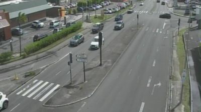

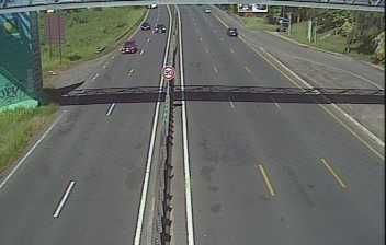
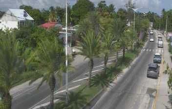
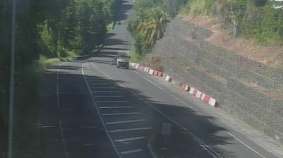
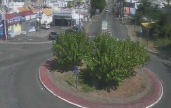
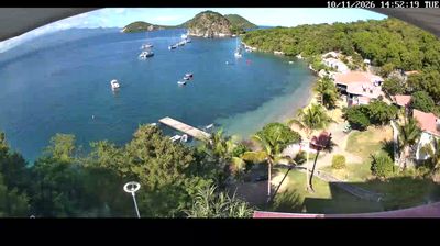

Few cities in Guadeloupe have a history as closely tied to the growth of Pointe-à-Pitre as Les Abymes. On Grande-Terre, immediately east of the port city and near the Caribbean Sea, it forms part of Guadeloupe’s principal urban area, with residential neighbourhoods, commercial districts and major transport routes. Pôle Caraïbes Airport, Guadeloupe’s international airport, is located here, making Les Abymes an important arrival point for connections with mainland France, the wider Caribbean and neighbouring islands. Its everyday, metropolitan character contrasts with the resort-oriented coast elsewhere on Grande-Terre. Continue through nearby webcams to explore different parts of Les Abymes and Grande-Terre.
3 webcams
The terrain of Guadeloupe ranges from volcanic, rainforest-covered slopes on Basse-Terre to drier limestone plains on Grande-Terre, giving the archipelago strongly contrasting island landscapes. La Soufrière, an active volcano within Guadeloupe National Park, dominates Basse-Terre, where humid forests and rivers descend towards the Caribbean Sea. Grande-Terre has a lower, more open character, with coastal settlements facing the Atlantic and the sheltered waters of the Grand Cul-de-Sac Marin. French and Creole influences shape everyday life; Guadeloupe has been an overseas department of France since 1946. Continue with other webcams from the area to see how this part of the Guadeloupe archipelago connects regionally.
8 webcams
The Atlantic and Mediterranean coastlines, together with the Alps, Pyrenees and broad river basins, define much of France — they support maritime trade, farming, wine regions and travel throughout the year. The Seine runs through Paris, where the Eiffel Tower and the Louvre are among Europe’s most recognised landmarks. The Loire Valley is known for Renaissance châteaux, while Mont-Saint-Michel rises from a tidal bay in Normandy. Regional food traditions are equally distinctive, from Breton seafood to Provençal cooking, with bread, cheese and wine central to everyday life. France’s global cultural influence is evident in its language, literature, fashion and cinema. View additional webcams nearby to better understand how France’s coasts, plains and mountain borders relate to their surroundings.
2.1K webcams