 Cabugao
 combines a quiet rural character with the rolling, heavily vegetated terrain of Aklan’s interior in a way that reflects its position on Panay Island. The settlement lies among coconut palms, cultivated plots and wooded hills, rather than the coastal tourism areas for which Aklan is often known. This is a predominantly rural part of the province, where homes and local roads are dispersed across the uplands. Panay, the Philippines’ sixth-largest island, provides the wider setting, its interior shaped by ridges and agricultural land. Aklan’s best-known cultural tradition is the Ati-Atihan Festival, held annually in Kalibo in honour of the Santo Niño, with drum-led street processions and painted participants.
Generated by AI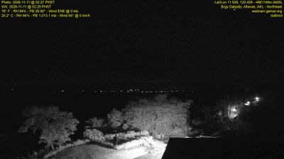

The interior uplands of Panay define the setting of Cabugao — this Aklan locality lies away from the island’s beach-oriented northwest coast, in a rural part of the province. Its context is distinctly Panay: settlement and farming country extend across terrain leading toward the central highlands, while the Sibuyan Sea lies beyond Aklan’s northern shore. Aklan’s best-known cultural celebration, Kalibo’s Ati-Atihan Festival, takes place in the provincial capital and reflects the province’s Catholic and Ati heritage. Cabugao provides a counterpoint to the resort image associated with Boracay, also in Aklan. Explore nearby webcams to see how Cabugao connects with the wider terrain of Panay.
1 webcam
Aklan has served as a distinct province within the Philippines since 1956. It occupies the northwestern part of Panay, where the Aklan River passes through the provincial capital of Kalibo before reaching the Sibuyan Sea. Kalibo is known for Ati-Atihan, an annual January festival of processions, music and dance held in honour of the Santo Niño. Offshore, Boracay belongs to Aklan and is recognised for White Beach’s long stretch of pale sand and its busy coastal resort life. Inland areas retain rice fields, coconut groves and low mountain terrain, giving the province a character that extends well beyond its famous island. Discover other points of interest through webcams located across Aklan.
3 webcams
The Philippine archipelago defines much of the Philippines — more than 7,000 islands support coastal fishing, seafaring and trade across the western Pacific. Luzon, the largest island, contains Manila, while Mindanao lies to the south; between them, the Visayas form a dense central island region. The Sierra Madre runs along eastern Luzon, and the Cordillera Central rises in its north. The Rice Terraces of the Philippine Cordilleras are recognised by UNESCO, while Manila’s walled district of Intramuros recalls the Spanish colonial period. Fiestas, often linked to parish traditions, remain an important part of community life. Continue with other webcams from the area to see how this part of Southeast Asia connects regionally.
6 webcams