 Yarrawonga: Barwon Heads - YBRS -> West
Barwon Heads Airport has served as a local airfield in Victoria’s Barwon district since the 1960s. Set on open farmland south-east of Geelong, it is a small general-aviation site with grass runways, hangars and broad, low-lying paddocks. The airport takes its name from Barwon Heads, the coastal township near where the Barwon River enters Bass Strait. This is Wadawurrung Country, within the traditional lands of the Wadawurrung people. The surrounding Bellarine Peninsula combines working rural land with coastal communities and forms part of the wider Geelong region. Rather than a major commercial terminal, the airfield represents the practical, small-scale aviation network serving regional Victoria.
Generated by AI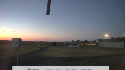
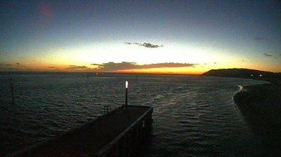


Few towns in Victoria have a history as closely tied to the Murray River and irrigation as Yarrawonga. On the river’s southern bank, it faces Mulwala in New South Wales, while Lake Mulwala extends upstream from Yarrawonga Weir. Completed in 1939, the weir helps supply the Murray Valley Irrigation Area and transformed this reach of the river into a broad recreational lake, where trunks of inundated river red gums remain a distinctive feature. Yarrawonga’s border position has fostered a close relationship with Mulwala, shared by boating, angling and holiday traffic. Its foreshore, shops and golf facilities establish it as a longstanding Murray River holiday centre. Browse other webcams across Victoria and the Murray River region to place Yarrawonga in a wider geographic context.
4 webcams
Among Australia’s regions, Victoria stands out for the remarkable variety packed between the Murray River and Bass Strait. The state combines fertile northern plains, the Central Victorian Goldfields, the forested Great Dividing Range and a long southern coast. Bendigo and Ballarat grew rapidly during the gold rushes of the 1850s, while Melbourne developed into Victoria’s cultural and economic centre. Along the southwest, the Great Ocean Road follows a dramatic stretch of coastline, contrasting with the farmland and river country inland. See how Victoria belongs within southeastern Australia by browsing webcams across the region.
278 webcams
Australia’s terrain extends from tropical rainforests in the northeast to arid plains in the interior, producing dramatic climatic contrasts. The Great Dividing Range follows much of the eastern coast, while the Great Barrier Reef lies off Queensland in the Coral Sea and Uluru rises from the central desert. Aboriginal and Torres Strait Islander peoples maintain living cultures whose connections to Country long predate European settlement. In Sydney, the sail-like Opera House, completed in 1973, stands beside one of the world’s best-known harbours. Discover further points of interest through webcams located across Australia.
1.5K webcams