 Atherton: Caloundra - YCDR -> SE
Caloundra Aerodrome is best known in Queensland for its role as a general-aviation airfield on the Sunshine Coast. Situated inland from Caloundra’s beaches, it occupies a low coastal plain near Pumicestone Passage, the sheltered waterway separating Bribie Island from the mainland. The aerodrome supports flight training, charter operations and recreational aviation, with open airfield land contrasting with the growing urban area of the Sunshine Coast. It is also home to the Queensland Air Museum, whose collection documents civil and military aviation in the state. Caloundra has grown from a coastal holiday town into a major Sunshine Coast centre, while the aerodrome retains a local community-airfield role.
Generated by AI
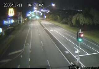

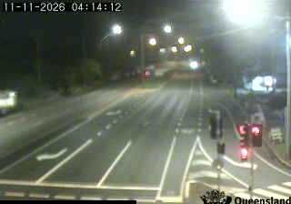


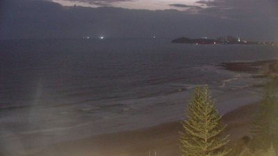

Atherton occupies a high plateau on the Atherton Tablelands in Far North Queensland. At about 750 metres above sea level, the town has a cooler climate than the tropical coast and serves an agricultural district shaped by fertile volcanic soils. Lake Tinaroo, formed on the Barron River, lies nearby and is central to the tablelands’ water storage and recreation. Atherton’s Hou Wang Temple, built in 1903 for the local Chinese community, recalls the region’s long connections with Chinese miners, farmers and merchants. View additional webcams nearby to better understand how Atherton relates to the Atherton Tablelands and tropical Queensland.
3 webcams
Queensland extends from Torres Strait in the north to the New South Wales border in the south, encompassing a tropical coastline and a vast, dry interior. Along the Coral Sea, the Great Barrier Reef runs beside the state’s eastern shore, while inland plains, grazing country and long distances define much of central and western Queensland. This location lies in the interior, where settlements are widely spaced and open outback horizons contrast with the humid coast. Queensland is home to Aboriginal and Torres Strait Islander peoples, whose enduring connections to Country underpin its cultural identity. Browse additional webcams from central Queensland to extend your view of the state’s interior.
469 webcams
Australia’s terrain extends from tropical rainforests in the northeast to arid plains in the interior, producing dramatic climatic contrasts. The Great Dividing Range follows much of the eastern coast, while the Great Barrier Reef lies off Queensland in the Coral Sea and Uluru rises from the central desert. Aboriginal and Torres Strait Islander peoples maintain living cultures whose connections to Country long predate European settlement. In Sydney, the sail-like Opera House, completed in 1973, stands beside one of the world’s best-known harbours. Discover further points of interest through webcams located across Australia.
1.5K webcams