 Lower Wattle Grove: Ballarat - YBLT -> SW
Tucked into the open plains on Ballarat’s north-western edge, Ballarat Airport is a place whose character is shaped by its expansive airfield and low-slung aviation buildings. It stands in Victoria’s Central Highlands near the inland city of Ballarat. Ballarat expanded rapidly after gold was discovered nearby in 1851, a legacy reflected in its substantial civic architecture and at Sovereign Hill, a recreated goldfields attraction. Identified by the code YBLT, the airport serves general aviation, with runways, hangars and clear approaches defining the site. Its broad surroundings underscore Ballarat’s role as a regional centre of the Victorian goldfields.
Generated by AI

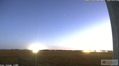

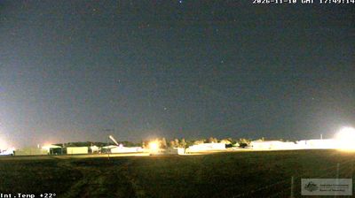
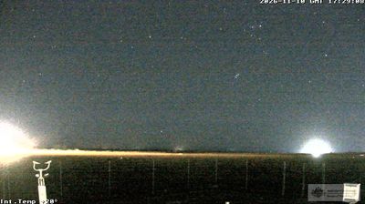
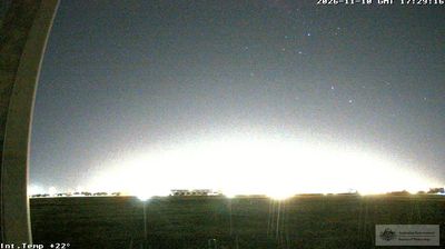


Tucked along the Huon River in southern Tasmania, Lower Wattle Grove is a place whose character is shaped by the river’s broad tidal estuary. It lies within the Huon Valley, a district historically associated with orchards, boatbuilding and forestry. Wooded slopes meet small rural clearings around the water, while the Huon continues towards the D’Entrecasteaux Channel. Nearby Franklin is home to the Wooden Boat Centre, where Tasmania’s maritime craft remains an active tradition. Browse additional webcams from the Huon Valley to extend your view of southern Tasmania.
1 webcam
Among Australia’s regions, Tasmania stands out for its island setting south of Bass Strait and its large tracts of protected wilderness. Rugged mountain country, temperate rainforest and a deeply indented coastline give the state a character distinct from mainland Australia. Cradle Mountain–Lake St Clair National Park forms part of the Tasmanian Wilderness World Heritage Area, while Lake St Clair lies among the Central Highlands. On the Tasman Peninsula, Port Arthur preserves one of Australia’s best-known former convict settlements and is included in the UNESCO-listed Australian Convict Sites. Trace Tasmania’s place between Bass Strait and the Southern Ocean by browsing webcams nearby.
64 webcams
Australia’s terrain extends from tropical rainforests in the northeast to arid plains in the interior, producing dramatic climatic contrasts. The Great Dividing Range follows much of the eastern coast, while the Great Barrier Reef lies off Queensland in the Coral Sea and Uluru rises from the central desert. Aboriginal and Torres Strait Islander peoples maintain living cultures whose connections to Country long predate European settlement. In Sydney, the sail-like Opera House, completed in 1973, stands beside one of the world’s best-known harbours. Discover further points of interest through webcams located across Australia.
1.6K webcams