 Kandersteg
The landscape around Kandersteg is a steep Alpine valley of forest and pasture, which has shaped both its compact settlement and local life. The village stands in the Kandertal, where the Kander runs north through the Bernese Alps. Railways brought a decisive change: the Lötschberg Tunnel, opened in 1913, linked Kandersteg with Valais and remains part of the north–south Alpine rail corridor. The area is also oriented toward mountain and Nordic sports, with ski-jump facilities on the valley floor and routes extending into the surrounding heights. Kandersteg International Scout Centre, founded in 1923, brings an international community to this long-established Alpine village.
Generated by AI
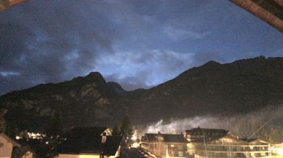
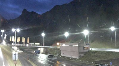
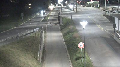
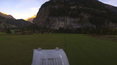

Tucked into the upper Kander valley in the Bernese Alps, Kandersteg is a place whose character is shaped by the Kander River and the steep mountains around it. Above the village lies Oeschinen Lake, a mountain lake beneath the Blüemlisalp massif and a popular starting point for alpine walks. Kandersteg also marks the northern approach to the historic Lötschberg Tunnel, a 14.6-kilometre railway tunnel opened in 1913. Since 1923, the Kandersteg International Scout Centre has brought young people from around the world to this high-valley community. Browse other webcams across the canton of Bern to place this Alpine setting in a wider geographic context.
10 webcams
Built around the Aare River and routes across the Swiss Plateau, Bern grew into a canton connecting the federal capital with the Bernese Oberland. Its territory extends from Jura foothills and farmland through the Aare valley to the high Alps around the Eiger, Mönch and Jungfrau. The city of Bern, Switzerland’s federal capital, preserves an Old Town inscribed on UNESCO’s World Heritage List, while Thun and Interlaken lead towards Lakes Thun and Brienz. Urban institutions, dairy farming and established alpine resorts give the canton a notably broad Swiss character. View additional webcams nearby to better understand how Bern relates to its Alpine and plateau surroundings.
236 webcams
Switzerland stretches from the Jura Mountains in the northwest to the Alps in the south, encompassing a central plateau of cities, farms and lakes. The Rhine rises in the Swiss Alps, while Lake Geneva forms part of the country’s southwestern border. Zürich, Geneva and Basel are major urban centres, yet mountain railways and passes remain central to how many regions are experienced. Four national languages—German, French, Italian and Romansh—reflect Switzerland’s distinct cantonal identities. The Matterhorn above Zermatt is among Europe’s most recognisable peaks, and the 1291 Federal Charter is closely associated with the country’s founding tradition. Continue through nearby webcams to explore different parts of Switzerland.
1.5K webcams