 Val Mustair: Fuldera
Fuldera is best known within Grisons for its traditional farming settlement in the Romansh-speaking Val Müstair. At 1,638 metres, the village stands in the upper valley of the Rom, whose course continues east into Italy as the Rambach. Meadows and scattered farm buildings give this small community a distinctly rural character, while the surrounding valley belongs to the UNESCO Biosphere Reserve Engiadina Val Müstair. Fuldera was an independent municipality until it joined Val Müstair in 2009. The road over the Ofen Pass connects the valley with the Engadin; nearby Müstair’s Benedictine Convent of St John, renowned for Carolingian frescoes, is a UNESCO World Heritage Site.
Generated by AI

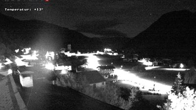
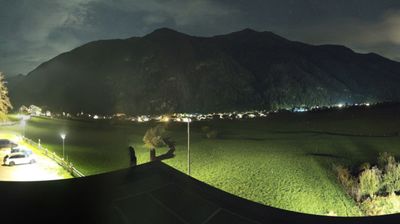


Val Müstair occupies the upper Rom valley in eastern Grisons, close to Switzerland’s border with Italy. The river runs through a string of compact settlements between wooded slopes and high Alpine terrain; the road over the Ofen Pass leads west toward the Engadin. At Müstair, the Benedictine Convent of St John is a UNESCO World Heritage Site, noted for its exceptionally important Carolingian wall paintings. The valley forms part of the UNESCO Biosphere Reserve Engiadina Val Müstair, which includes the Swiss National Park. Its Romansh heritage is audible in local place names and remains central to the area’s identity. Browse additional webcams from the surrounding area to extend your view of Val Müstair and eastern Grisons.
5 webcams
The terrain of Grisons ranges from high Alpine valleys in the south to the broad Rhine valley in the north, shaping Switzerland’s largest and most linguistically diverse canton. The Inn flows through the Engadin, while the Rhine has long connected Chur, the cantonal capital, with the rest of central Europe. Romansh remains a defining regional language alongside German and Italian. The Rhaetian Railway’s Albula and Bernina lines, recognised by UNESCO, cross dramatic mountain country with remarkable engineering. Browse further webcams from the area to trace how this corner of eastern Switzerland links with neighbouring Alpine regions.
259 webcams
Switzerland stretches from the Jura Mountains in the northwest to the Alps in the south, encompassing a central plateau of cities, farms and lakes. The Rhine rises in the Swiss Alps, while Lake Geneva forms part of the country’s southwestern border. Zürich, Geneva and Basel are major urban centres, yet mountain railways and passes remain central to how many regions are experienced. Four national languages—German, French, Italian and Romansh—reflect Switzerland’s distinct cantonal identities. The Matterhorn above Zermatt is among Europe’s most recognisable peaks, and the 1291 Federal Charter is closely associated with the country’s founding tradition. Continue through nearby webcams to explore different parts of Switzerland.
1.5K webcams