 Sioux Falls: Falls Park - Falls of the Big Sioux River - Big Sioux River
Sioux Falls has served as a commercial center in southeastern South Dakota since the late 19th century. The city takes its name from the Falls of the Big Sioux River, where water cuts through exposed pink Sioux quartzite in Falls Park. This green space near downtown combines riverbanks, footpaths and broad rock shelves with the remnants of the Queen Bee Mill, a reminder of the milling enterprises that once depended on the falls. The river remains a defining thread through the city, while the park marks a clear transition between the urban core and the prairie country of the Upper Midwest.
Generated by AI
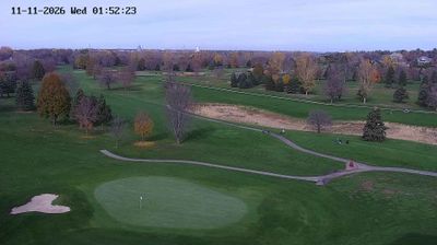
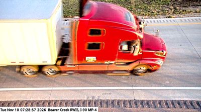


Sioux Falls combines an urban downtown with the open prairie character of eastern South Dakota in a way that reflects its position on the Big Sioux River. Falls Park is the city’s defining public space, where the river drops over pink Sioux quartzite; the ruins of the 19th-century Queen Bee Mill recall an early industrial chapter. Downtown extends from the river through a compact center of shops, restaurants and galleries, while SculptureWalk places changing outdoor sculpture among its streets each year. The Washington Pavilion, in a former school building, adds performing arts and museum programming to the cultural mix. Browse other webcams across South Dakota to place this river city in a wider Great Plains context.
2 webcams
South Dakota balances wide prairie horizons with rugged western terrain in a way that reflects its position within the northern Great Plains. The Missouri River crosses the state’s centre, passing Pierre, the capital, on its course toward the Mississippi. Farther west, the Black Hills form an isolated forested range that includes Mount Rushmore National Memorial, while Badlands National Park is known for its eroded buttes and layered rock formations. Native American nations, including the Oglala Lakota, maintain deep connections to this land, and the Sturgis Motorcycle Rally adds a prominent modern tradition each August. Agricultural plains, reservation communities and western towns give the state a distinctly inland American character. Continue with other webcams from the area to see how this part of the Great Plains connects regionally.
33 webcams
The Atlantic, Pacific and Gulf coasts define much of the United States — their ports, fisheries and trade routes have long tied the country’s economy to the wider world. Between them, the Rocky Mountains, Great Plains and Mississippi River basin form sharply different regions, from high western ranges to broad agricultural heartlands. Cities carry much of the national story: New York’s Statue of Liberty, a gift from France dedicated in 1886, remains an enduring symbol, while Washington, DC concentrates major federal institutions. Indigenous nations have shaped these lands for millennia, and their living cultures remain essential to the country’s identity. Find related webcams in the surrounding areas to build a fuller picture of the United States.
32K webcams