 Muotathal: Glattalp
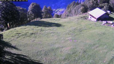
Few places in Schwyz have a history as closely tied to Switzerland’s cold records as Glattalp. On 12 January 1987, the enclosed high basin recorded −52.5°C, the lowest temperature measured in Switzerland. Glattalp is a limestone alp above Muotathal, shaped by open grazing land, rocky ridges and the small Glattalpsee. It lies in the Schwyzer Alps, where karst terrain channels water underground and gives the plateau its broad, spare character. Alpine farming remains central to local life, with cattle grazing the mountain pastures. A road reaches the alp, while footpaths continue into the surrounding mountain country.
Generated by AI

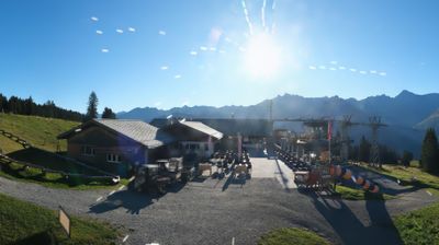

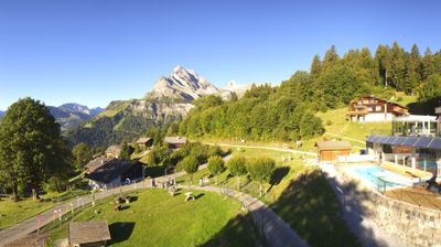
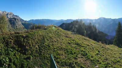

Muotathal combines the quiet rhythm of an inhabited Alpine valley with a rugged karst landscape in a way that reflects its position along the Muota River in canton Schwyz. Steep, wooded slopes enclose the settlement, while the Hölloch cave system above the valley ranks among the world’s longest known cave systems and can be explored on guided underground tours. Local identity also includes the Muotathal weather prophets, whose public seasonal forecasts are a longstanding regional tradition. The village lies on the route towards the Pragel Pass, linking Schwyz with the Glarus region in the warmer months. Continue through nearby webcams to explore different parts of Muotathal and canton Schwyz.
4 webcams
Built around an early settlement beneath the Mythen peaks, Schwyz grew into the capital of the canton that gave Switzerland its name. The town stands in central Switzerland between the Muota valley and the shores of Lake Lucerne, with the distinctive Grosser and Kleiner Mythen rising above its streets. Schwyz holds a defining place in the country’s political memory: it was one of the original cantons associated with the Federal Charter of 1291, preserved at the Museum of the Swiss Charters. Its historic centre, local traditions and access to mountain country give it a strongly regional identity. Move on to other webcams in the region to compare mountain and lakeside settings around Schwyz.
61 webcams
Switzerland stretches from the Jura Mountains in the northwest to the Alps in the south, encompassing a central plateau of cities, farms and lakes. The Rhine rises in the Swiss Alps, while Lake Geneva forms part of the country’s southwestern border. Zürich, Geneva and Basel are major urban centres, yet mountain railways and passes remain central to how many regions are experienced. Four national languages—German, French, Italian and Romansh—reflect Switzerland’s distinct cantonal identities. The Matterhorn above Zermatt is among Europe’s most recognisable peaks, and the 1291 Federal Charter is closely associated with the country’s founding tradition. Continue through nearby webcams to explore different parts of Switzerland.
1.5K webcams